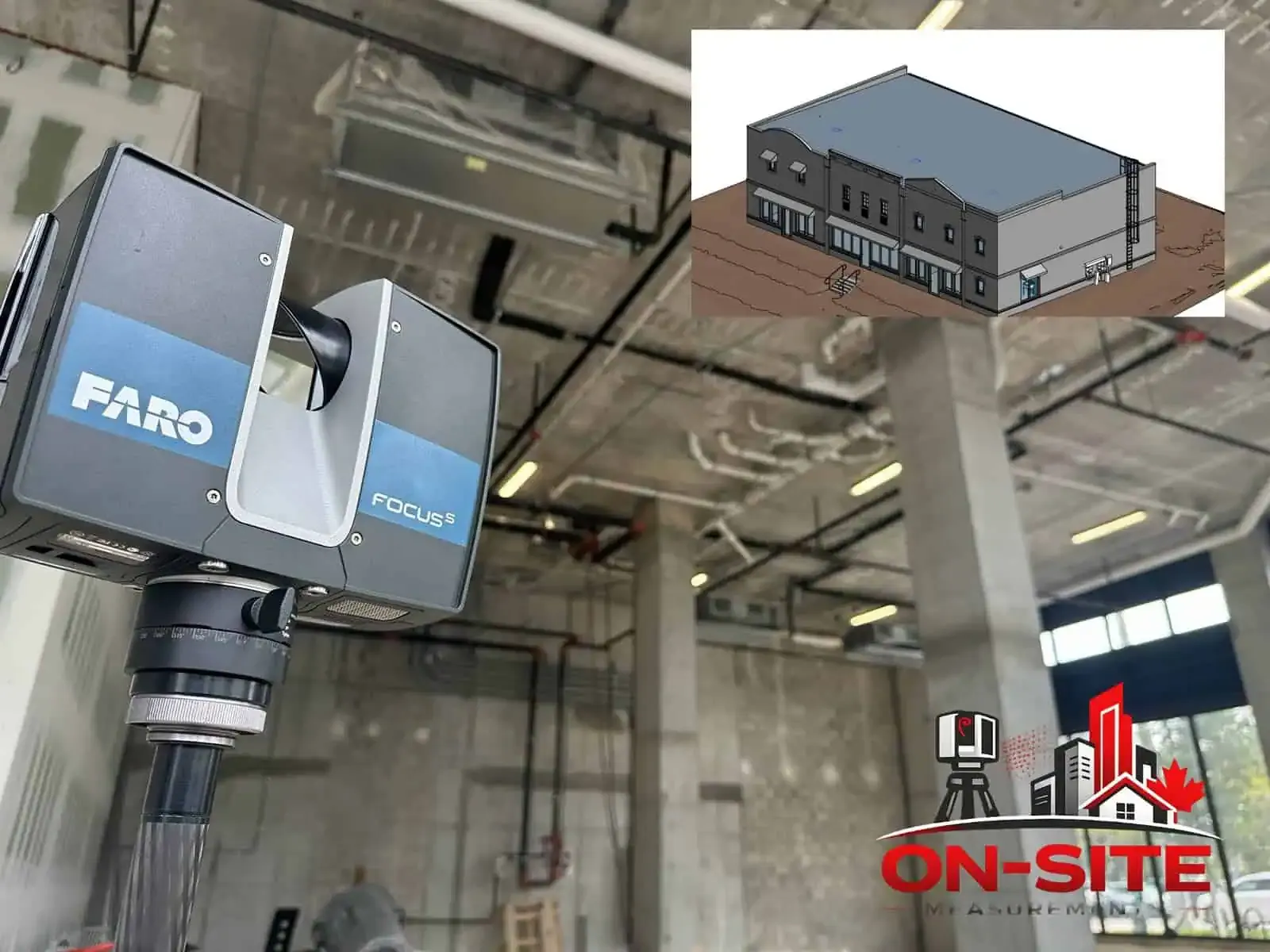
TL;DR: Scanning a retail or commercial space before a renovation or a new lease records the unit as it actually stands: demising walls, columns, storefront, ceiling heights and the services you can see. The scan is turned into the deliverable the next step needs, usually as-built floor plans and a reflected ceiling plan for a fit-out, a Revit model for a larger redesign, or a virtual tour for leasing and review. Most of the work is deciding that deliverable up front and planning the visit around the people still using the space.
Retail and commercial units change hands and change shape more often than almost any other building type. Each tenant leaves behind partitions, bulkheads and services that rarely make it onto the landlord's drawings. By the time a new tenant, designer or contractor asks for a plan of the space, the plan on file can be several fit-outs out of date.
Why scan a retail or commercial space before you renovate or sign a lease?
Because the drawings you are handed are usually not the space you are standing in. Landlord base plans tend to show the shell as originally built. Previous tenants may have moved demising walls, added washrooms, dropped ceilings, built storage rooms or cut new openings in the storefront. A designer who starts from the old base plan finds those differences on site, often after the design is drawn and the contractor has priced it.
A scan resets that baseline. It records the unit as it exists on the day of the visit, so the design, the lease plan and the contractor's price all start from the same geometry. Laser scanning is often considered when missing existing conditions could create design, coordination, or construction planning issues, and a fit-out on a tight opening date is a common case.
Laser scan, virtual tour, or both: which does the job need?
The scan itself is raw data. What you actually use is the deliverable produced from it, and the right one depends on who will open it next.
| Deliverable | What it shows | Typical use |
|---|---|---|
| Registered point cloud | Millions of measured points of every visible surface, in 3D | The design or construction team measures directly from it, or checks clearances |
| As-built floor plan and reflected ceiling plan | 2D drawings of walls, openings, columns, ceiling heights and visible ceiling services, drafted by a technician from the scan | Tenant fit-out design, contractor pricing, leasing plans |
| Elevations and sections | The storefront, interior walls and floor-to-ceiling relationships in 2D | Storefront redesign, signage, millwork, bulkhead changes |
| Revit model | The existing space as a 3D BIM model | Larger redesigns, multi-trade coordination, landlord records |
| Virtual tour | A walkable 360 degree record of the space | Leasing, remote review by head office or investors, a visual record before work starts |
Two points are worth knowing before you choose. First, the drawings and models are drafted by a technician from the scan data; they are not generated automatically, so the level of detail is something you specify. Second, a virtual tour is a visual record. Its measurements are approximate and its floor plans are schematic, so it does not replace measured drawings for design. Many retail projects take a scan for the drawings and a tour for the people who will never visit the site.
For the sheet types in more detail, see as-built floor plans for commercial and industrial buildings. The services behind the table are 3D laser scanning, as-built drawings and 3D virtual tours.
What gets captured in a store or commercial floor?
Everything the scanner can see from its positions. In a typical retail unit or office floor that includes:
- Storefront and glazing: mullions, doors, sills and the relationship to the mall corridor or sidewalk.
- Demising walls and partitions: where they actually sit, which is often not where the base plan puts them.
- Columns and the structural grid: positions and sizes, which drive fixture and racking layouts.
- Ceiling heights, bulkheads and soffits: the information most often missing from older drawings.
- Visible ceiling services: exposed ductwork, sprinkler heads, lighting and cable trays where the ceiling is open or the tiles are lifted.
- Back of house: stockrooms, washrooms, staff areas, service corridors and loading access.
- Floor conditions: steps, ramps and slab level changes between the unit and the corridor.
What is not captured matters as much. Anything concealed inside walls, above closed ceilings or below the slab is out of scope by default, because a scanner records surfaces, not what is behind them. If the design depends on what is inside a wall or above a closed ceiling, that needs a separate investigation.
How do you scan a space that is still open for business?
With planning. Occupied stores and offices are scanned regularly. The visit is scheduled around trading hours and agreed with the tenant, the landlord or the mall's property management before anyone arrives, so access, keys, alarm codes and loading bay use are sorted in advance.
People walking through the space during a scan show up in the data as stray points. Leica Geosystems describes this in a shopping centre redevelopment case study: pedestrians create "ghost points" that are removed during processing. That cleanup is a normal part of the job. Coverage checks are completed while on site when practical, and registration quality is reviewed during processing before deliverables are issued.
The more the team knows before the visit, the smoother it runs: which areas are in scope, which rooms are locked, and whether stock or fixtures will be moved first. For a walk through the day itself, see what to expect from a 3D scanning site visit.
Who uses the scan data?
The same scan usually serves several people on one project:
- Landlords and property managers use the plans for leasing packages, area checks and marketing a vacant unit. A virtual tour lets a prospective tenant walk the space before booking a viewing.
- Tenants and their designers use the floor plan, ceiling plan and storefront elevation as the base for the fit-out design.
- General contractors price from the same drawings the designer used, which can reduce the "verify in field" notes that turn into change orders.
- Head office and brand teams review the space through the tour without travelling to site.
Two uses that are easy to miss
Recording the space at the start or end of a lease. A scan and a tour taken when a tenant moves in, or before they hand the space back, give both sides a dated, measured record of what the unit looked like. It is a practical reference for conversations about what was there before, though it does not replace the lease documents or a professional condition assessment.
Keeping drawings consistent across several locations. A retailer opening units in more than one city benefits from drawings that follow the same layers, naming and level of detail everywhere. Agreeing a single drawing standard at the first site makes every later site faster to design and compare. On-Site Measurements supports projects across Canada, including commercial property scanning in Toronto, as-built measuring services in Vancouver and Calgary, with other regions on request.
What should you send for a quote?
A short brief is enough to scope the job:
- The address and the unit or floor, with a rough area if you know it.
- Whether the space is vacant or trading, and any access limits.
- The deliverables you need: point cloud, floor plan, ceiling plan, elevations, Revit model, virtual tour, or a combination.
- The file formats your designer or contractor works in, such as DWG, RVT or PDF.
- Any existing drawings, even old ones, so the team knows what they are checking against.
- Your design or opening deadline.
From that, the scope is confirmed and you receive a fixed-scope quote within 24 hours. For how the price itself is built, see 3D laser scanning costs in Canada.
Frequently asked questions
Can you scan a store while it is open?
Yes, in most cases. The visit is planned around trading hours with the tenant and property management, and shoppers who pass through the scan are cleaned out of the data during processing.
Is a virtual tour enough to design a fit-out?
Usually not on its own. A virtual tour is a visual record with approximate measurements and schematic floor plans. A fit-out design normally needs measured drawings drafted from a laser scan; the tour works well alongside them for review.
Do I need the landlord's drawings first?
No. The scan records the space as it is, with or without existing drawings. If you have old drawings, send them anyway, since they help the team understand what has changed.
Can a scan show what is behind walls or above the ceiling?
No. A laser scanner records visible surfaces. Concealed elements such as framing, wiring, plumbing and services above a closed ceiling are out of scope by default unless they are exposed before the visit.
Can you scan stores in several cities?
Yes. Projects are supported across Canada, and agreeing one drawing standard at the first location keeps the deliverables consistent from site to site.
Related reading
- As-built floor plans for commercial and industrial buildings, the sheet types and detail decisions for larger spaces
- What is an as-built floor plan?, how a measured plan differs from design and permit drawings
- What to expect from a 3D scanning site visit, the day itself, step by step
- 3D laser scanning, the service page for the capture described here
If you are planning a fit-out, taking on a new lease or handing a unit back, send the address, the unit, a rough size and the deliverables you need. We will confirm the capture plan and return a fixed-scope quote within 24 hours. Request a quote or read more field notes.