









Technical Reference
Full Documentation
Service Documentation
Need the technical details before scoping? This section explains what as-built drawings include, what drawing types are available, how the production process works, and what to confirm before requesting a quote.
Have a project to scope? Tell us the site, the areas, and the drawing views you need.
Request a QuoteOn-Site Measurements provides as-built drawing services across Canada: dimensioned floor plans, reflected ceiling plans, elevations and sections drafted from 3D laser scan data, delivered in DWG and PDF. Architects, contractors, engineers and facility teams use them to design from, coordinate against and build with. Send the site location, the areas to document and the views you need, and you receive a fixed-scope quote within 24 hours.
As-built drawings document what is actually in a building or space, not what the original drawings say should be there. They capture visible, measurable existing conditions and translate them into the clear, dimensioned views that design and construction teams depend on.
City pages: as-built measuring services in Toronto, Vancouver, Calgary and Montreal.
What Do As-Built Drawing Services Include?
As-built drawings are dimensioned drawings of the existing physical conditions of a building or space, based on what was measured during the field visit. The same work is also called existing conditions surveys, measured drawings or as-built documentation, depending on the project and how the design team refers to it.
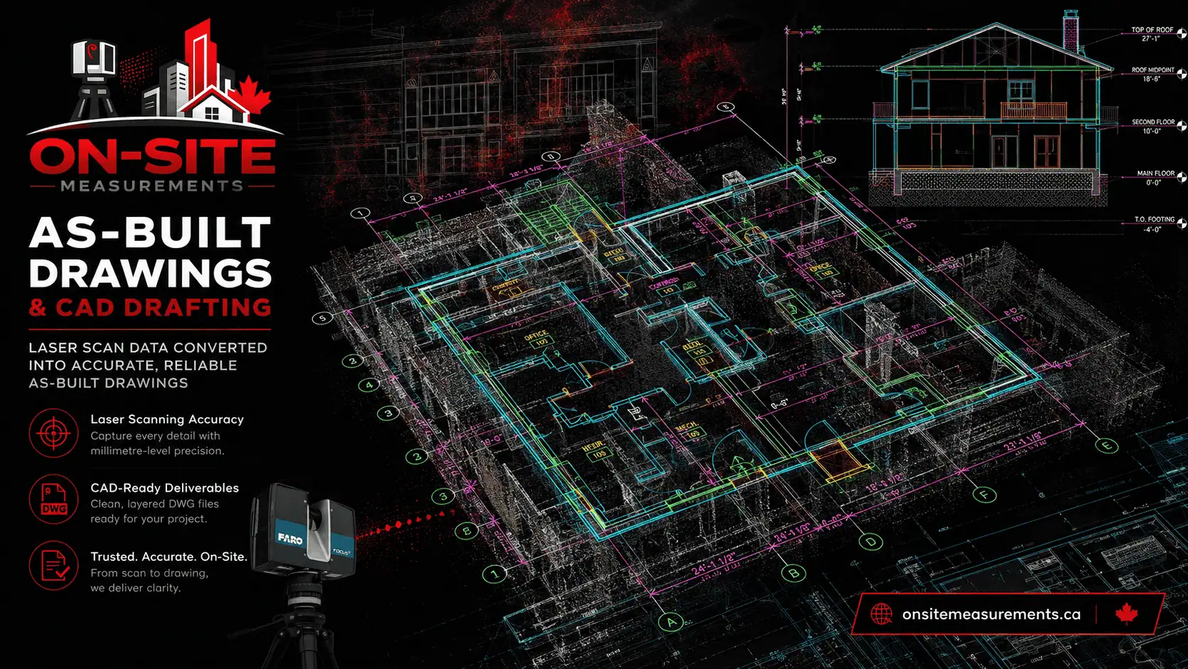
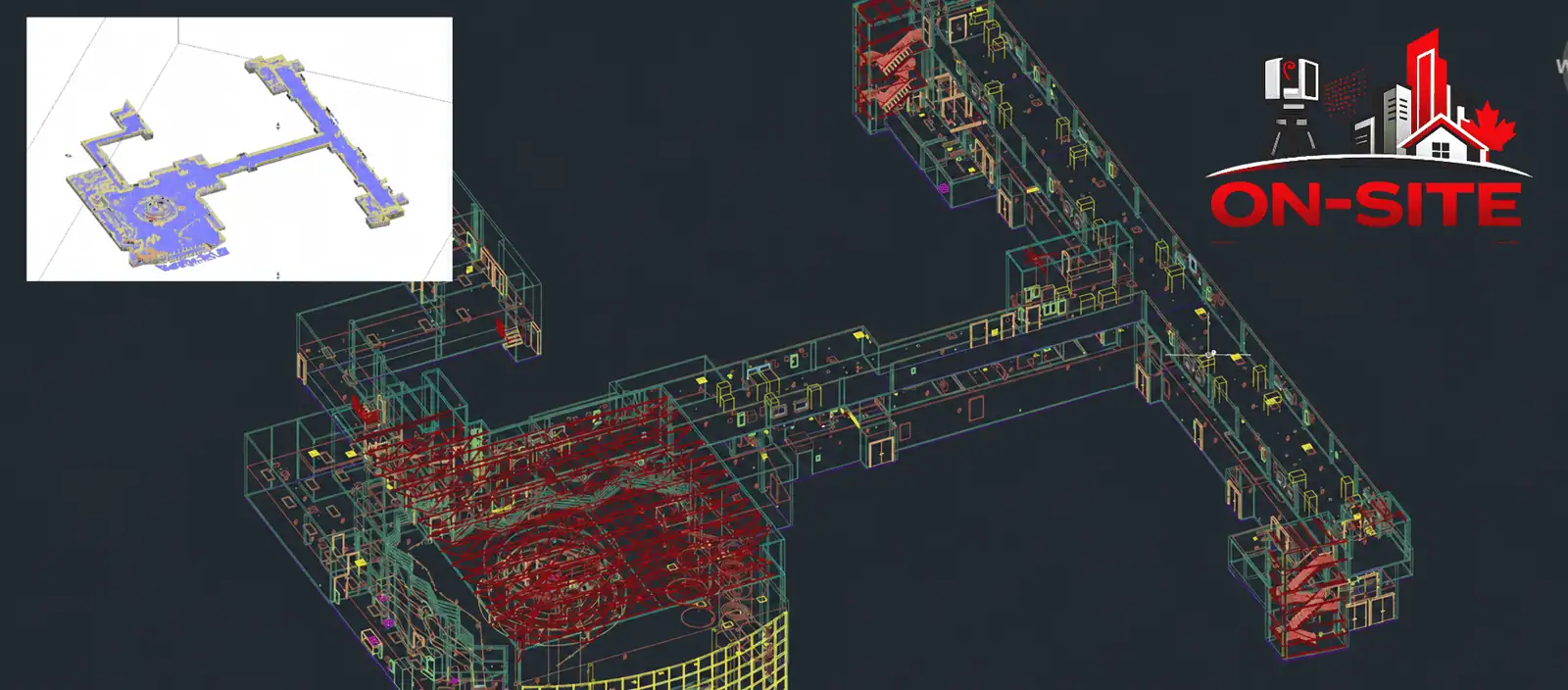
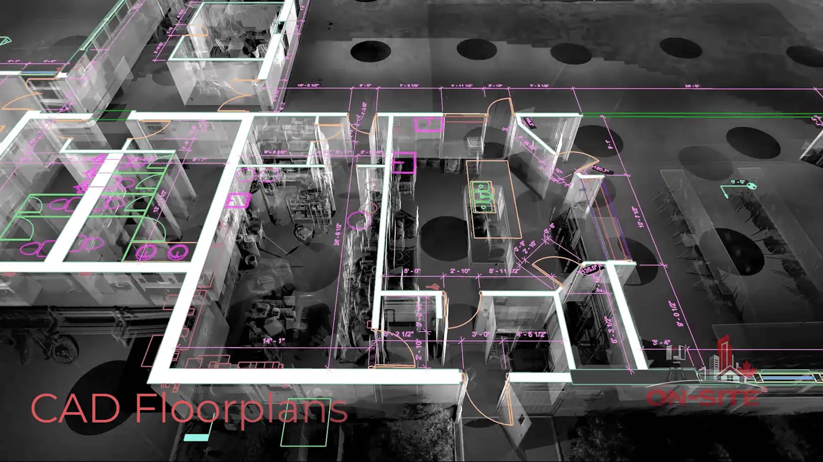
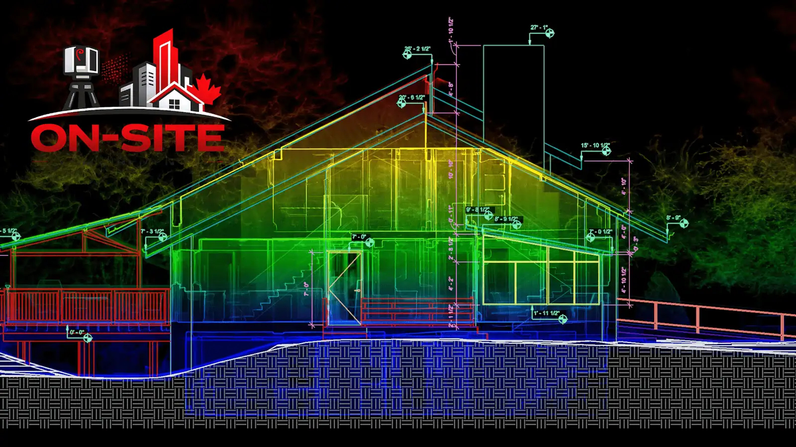
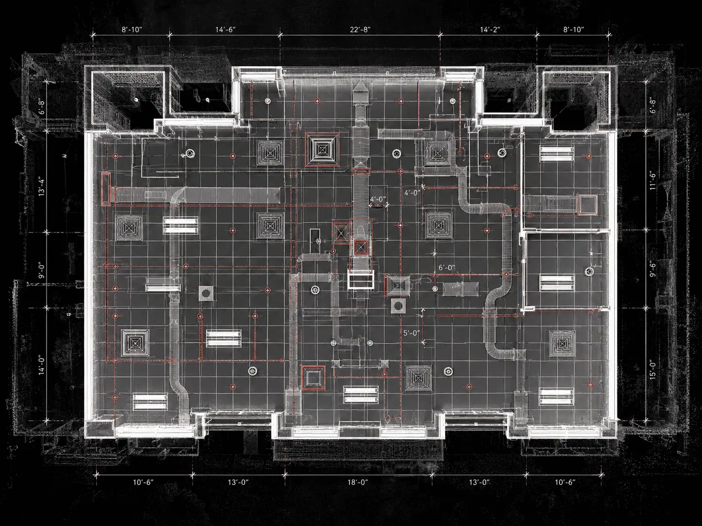
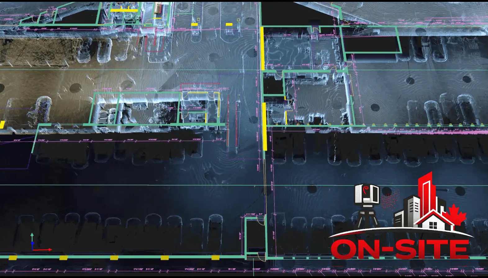
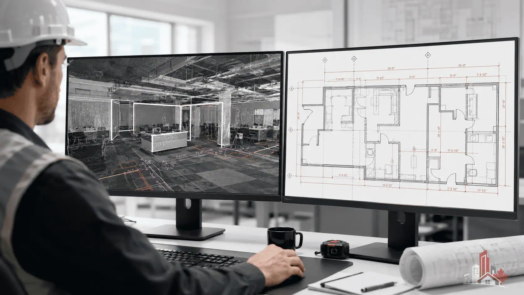
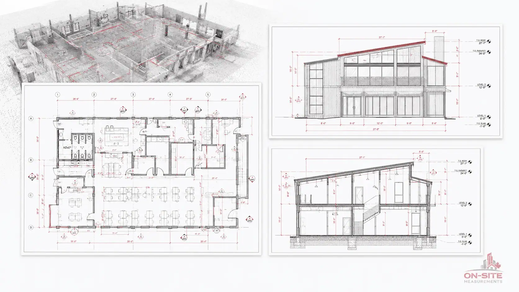
The measurement source is 3D laser scanning. The registered point cloud becomes the reference for every dimension and spatial relationship, and a technician drafts the drawings from it in CAD software. They are not automatically generated by the scanner. Depending on the agreed scope, a package can include:
| Drawing type | What it shows | Typical use |
|---|---|---|
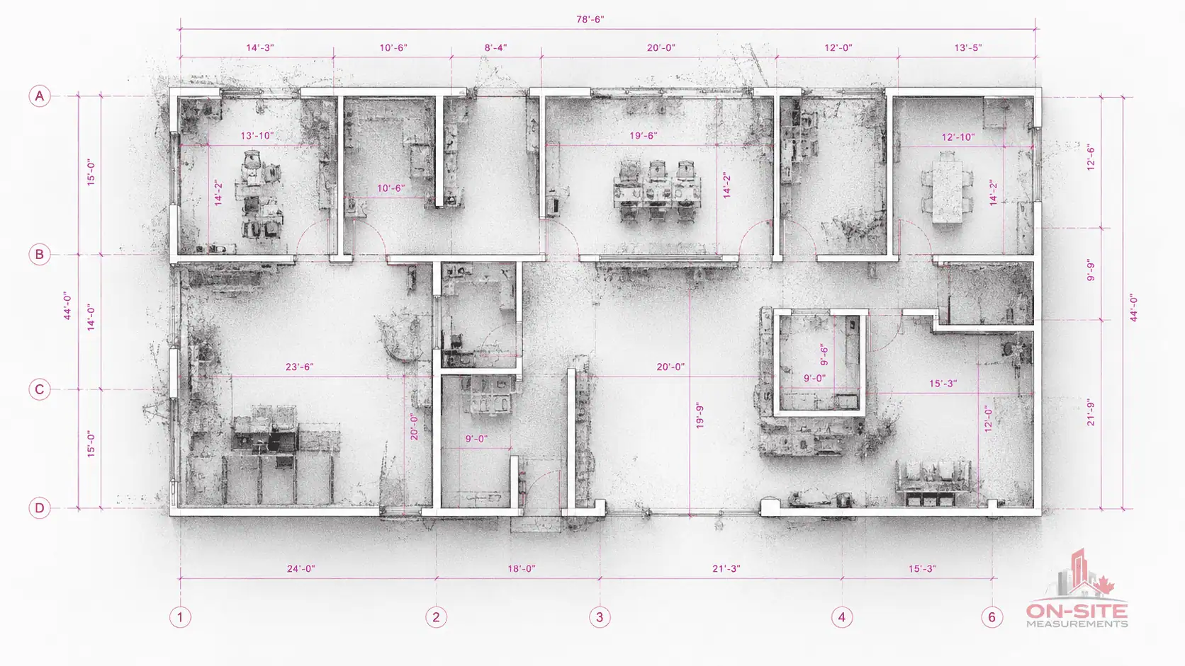
| Floor plans | Room layout, walls, openings, columns and dimensions at a standard cut height | Renovation design, space planning, existing-conditions records |
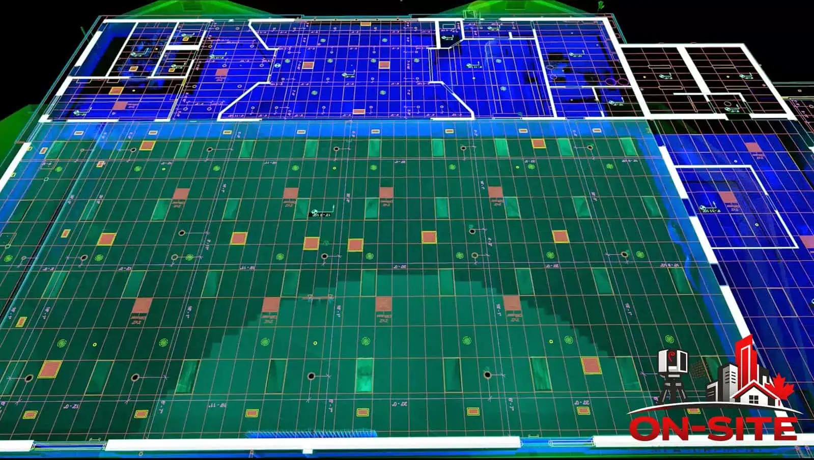
| Reflected ceiling plans | Ceiling structure, diffusers, lighting and other ceiling-level elements when in scope | MEP coordination, ceiling and lighting changes |
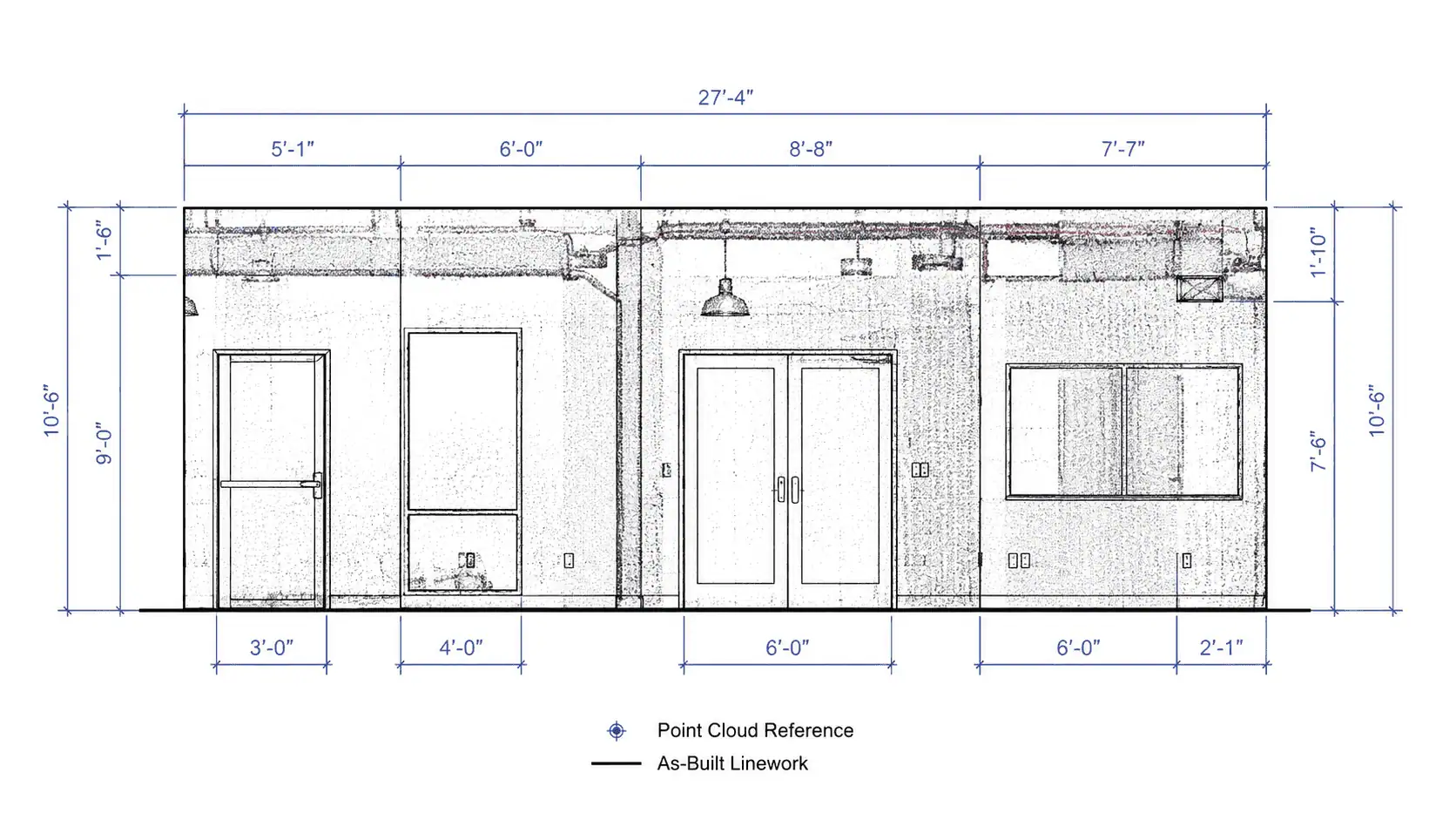
| Elevations | Interior or exterior wall faces with heights, openings and finishes | Storefront, facade, millwork and interior design work |
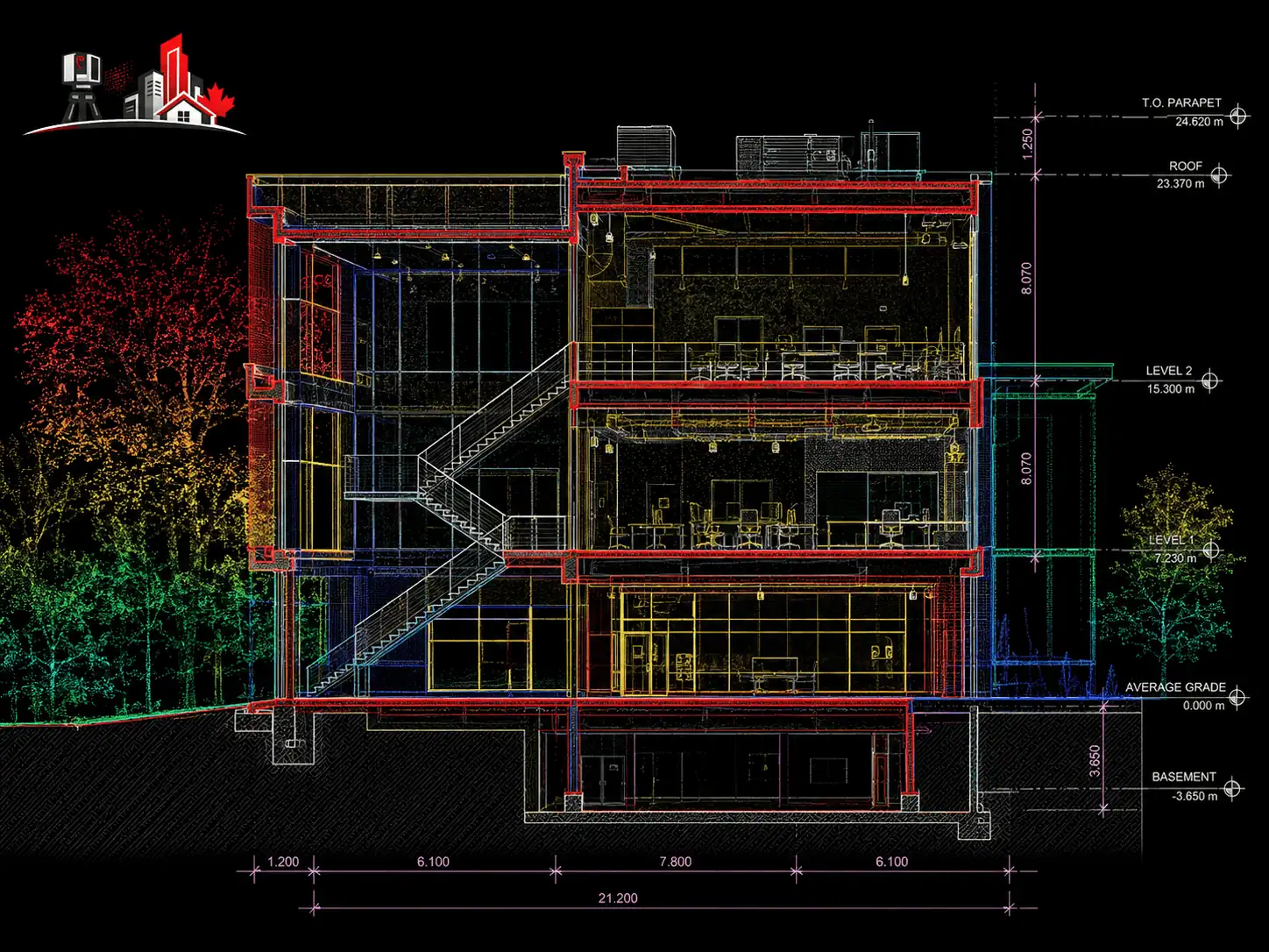
| Sections | Floor levels, slab edges where visible, exposed structure and level-to-level relationships | Renovation planning, structural reference |
| Roof plans | Roof geometry, equipment and penetrations when in scope | Rooftop equipment and roof replacement planning |
| Area calculations and space summaries | Measured square footage by room or zone | Leasing, asset records, space planning |
Not every project needs every view. The right combination, and the level of MEP and structural detail shown, are confirmed before any fieldwork begins. Packages can be organized for design coordination, for teams preparing permit documents, or for facility management use. The measurement standard for area calculations is confirmed before production.
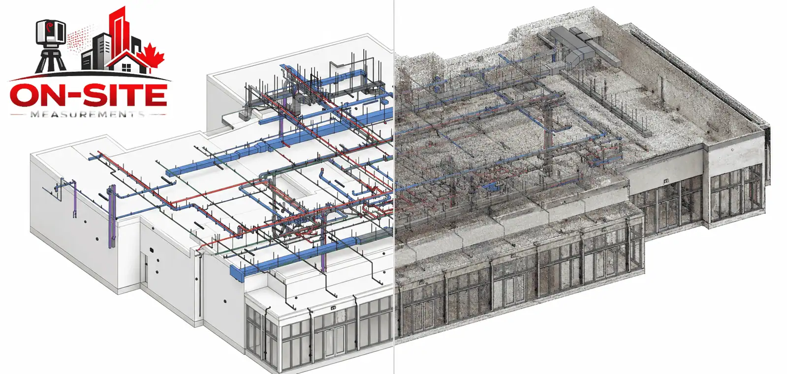
File formats. DWG is the standard format, compatible with AutoCAD and most design, coordination and facility management platforms. PDF is delivered alongside it for review and sharing. RVT and IFC are available when the scope includes a modeled deliverable, which is a separately scoped Scan to BIM service rather than a 2D drawing set. Other formats can be discussed during scoping.
For a closer look at the plan itself, see what an as-built floor plan is, with residential, commercial and industrial versions, and as-built floor plans for commercial and industrial buildings.
How Are As-Built Drawings Produced?
- Scope confirmation. Before mobilizing, we agree on the areas in scope, the drawing views, the level of detail and the file formats your team uses. Unclear scope at the start is the most common cause of rework and missed areas.
- Site access coordination. We confirm working hours, safety requirements, occupied-space logistics and any restricted or inaccessible areas. Access constraints affect the field plan, the timeline and what can be included.
- Field capture. The space is measured with 3D laser scanning. Scanner positions are chosen to cover the agreed scope within the scanner's line of sight.
- Registration and data review. Scan positions are registered into a unified point cloud. Coverage checks are completed while on site when practical, and registration quality is reviewed during processing before deliverables are issued. Areas outside the scope or inaccessible during the visit are noted here.
- Drawing production. A technician drafts the agreed views from the point cloud. This involves real interpretation: what to include at the agreed level of detail, how to represent transitions between elements, and how to handle conditions that are partially visible or ambiguous on site.
- Review and handoff. The drawings are checked against the point cloud for dimensional alignment and completeness, then delivered in the agreed format for your CAD environment.
The quality of the final drawings depends on three things: the coverage captured in the field, the clarity of the agreed scope, and the level of detail specified before production begins. For how this applies on active sites, see as-built scanning for construction.
Which Projects Use As-Built Drawings?
- Architecture and interior design: the starting point for renovation design, tenant improvement planning and additions, instead of outdated or incomplete records.
- Commercial real estate and property management: space plans, area calculations and building records for lease documentation, asset records and new tenancies.
- General contracting and construction management: planning demolition scope, coordinating subcontractors and confirming what is in the space before work starts.
- Structural and MEP engineering: dimensioned views of existing structure, mechanical equipment and ceiling spaces for retrofit design.
- Facility management: record drawings for maintenance planning, capital budgeting and equipment replacement.
- Heritage buildings: irregular geometry and thick masonry walls, where hand measurement is impractical or unreliable.
- Institutional and healthcare: occupied facilities with strict access and disruption constraints, where phased scanning, after-hours access and careful coordination are common.
If you are unsure whether you need drawings, a model or just the scan data, the comparison above and our Scan to BIM and CAD drafting pages explain the alternatives. A short scope conversation before committing to a package also helps.
What Shapes the Final Drawings?
As-built drawings show visible surfaces, elements and spatial relationships that were accessible and within the agreed scope during the field visit: walls, openings, floors, ceilings, exposed structure and visible MEP elements when in scope. Concealed elements, inaccessible areas, permits, sign-off and land surveying are outside the service, as listed above (see as-built drawings vs as-built surveys vs land surveys); if a concealed element is critical to the project, discuss alternate verification before the scope is confirmed.
Access. Restricted zones, hazardous areas, locked rooms and occupied spaces with limited access windows can only be documented if they can be reached during the visit. Confirming access before mobilization prevents gaps after the fact.
Level of detail. A space plan for a real estate transaction does not need the structural and MEP detail of a drawing set for a mechanical retrofit. Agreeing the level up front prevents both under-delivery and unnecessary work.
Existing drawings. Old drawings or CAD files from the original construction or a previous tenant are useful for scope planning, but they are not assumed accurate until verified against the measured site data.
What to Send for a Quote
- Site location: city and province
- Project type: renovation, tenant improvement, facility documentation, heritage, commercial real estate or other
- Areas to document: specific rooms, floors, the full building or a defined zone
- Drawing views: floor plans, reflected ceiling plans, elevations, sections or a combination
- Level of detail: space plan level, coordination level or another standard
- File formats and software: DWG, PDF or other, and whether your team uses AutoCAD, Revit or another platform
- Deadline: when drawings are needed and any phased milestones
- Access restrictions: occupied, active or restricted areas, working hours or safety requirements
- Existing documentation: old drawings, CAD files or previous survey data
You do not need every answer before reaching out. We work through anything unclear during scoping and return a fixed-scope quote within 24 hours.
Frequently Asked
Common As-Built Drawing Questions
What are as-built drawings?
As-built drawings are dimensioned drawings that document the existing physical conditions of a building or space as they are measured. They show what is actually there, not what was originally designed or what old drawings say should be there. Depending on the project, they may also be called existing conditions drawings, measured drawings, or as-built documentation. The term varies, but the purpose is the same: an accurate drawn record of conditions as found.
What is the difference between as-built drawings and a land survey?
As-built drawings document the interior and exterior physical conditions of a building: walls, openings, structure, MEP routing, finishes, floor levels, and spatial dimensions. A land survey documents exterior property boundaries, lot lines, grades, and legal property information. These are different scopes of work involving different professionals and different deliverables. Laser scanning commonly supports as-built documentation for buildings and interior spaces. Boundary surveys, cadastral records, and land-related legal documentation are a separate professional scope.
What drawing types are included in an as-built drawing package?
The views included depend on the agreed scope. Common options are floor plans, reflected ceiling plans, elevations, sections, roof plans, and area summaries. Not every project requires every view type. The scope is confirmed before any fieldwork begins so the field plan and drafting brief are aligned with what the project actually needs.
What file formats are delivered for as-built drawings?
DWG and PDF are the standard delivery formats. DWG is compatible with AutoCAD and most design and coordination platforms. PDF is provided for review and reference. RVT and IFC are available when the scope includes modeled output, which is a Scan-to-BIM scope item rather than a 2D drawing deliverable. Confirm the required format during scoping based on what software your team uses downstream.
How are as-built drawings produced from scan data?
The space is first captured using 3D laser scanning, which produces a dense point cloud: a measurable 3D reference of visible surfaces within the scanner's line of sight and the agreed scope. A technician then uses that point cloud as the dimensional reference to draft the required views in CAD software. The drawings are not automatically generated by the scanner. The drafting step involves interpretation: what to include, what level of detail to represent, and how to handle site conditions that are partially visible or ambiguous. The drawings are reviewed against the point cloud before delivery.
What affects the cost of as-built drawing services?
Several factors influence project cost: Site size: Larger or multi-floor spaces require more field time and more drafting time. Number and complexity of views: A full drawing package with multiple view types requires more production time than a floor-plan-only scope. Level of detail: Higher detail levels require more careful field coverage and more time in drafting. Access constraints: Occupied spaces, after-hours requirements, or restricted areas affect both the field plan and the timeline. Existing documentation: Sites with no existing drawings may require additional scope planning effort. Mobilization: Site location, travel, and access scheduling affect the total project cost. We do not publish standard pricing because project conditions vary too much to make a price list useful. Contact us with your project details and we will discuss what the scope realistically involves. For how a quote is built, see 3D laser scanning costs in Canada.
Do as-built drawings satisfy permit submission requirements?
Some renovation, addition, or change-of-use projects involve documentation of existing conditions as part of a permit process. Whether as-built drawings satisfy a specific permit submission requirement depends on the municipality, the project type, the scope of the drawings, and what the authority having jurisdiction requires. We recommend confirming drawing requirements with the relevant municipal authority before finalizing the scope. On-Site Measurements does not provide permit consulting, engineering sign-off, or architectural stamping services.
Have a project in mind?
Send us the site, scope, and deliverables you need.
We will help confirm the right capture method before work begins.
Industries That Use This Service
- As-built drawings for architecture and designDimensioned existing-condition drawings as design inputs and renovation references.
- Existing-condition drawings for engineering teams2D CAD plans and sections for engineering coordination and retrofit reference.
- As-built documentation for contractorsPre-construction, coordination, and post-work drawing packages.
- Building record drawings for facility teamsUpdated floor plans and building records for long-term facility operations.
This Service in Specific Cities
City-specific pages with local project context, use cases, and quote guidance.
- As-Built Drawings in TorontoAs-built drawings for Toronto and GTA renovation, tenant improvement, and commercial documentation projects.
- As-Built Drawings in VancouverAs-built drawings for Vancouver and Lower Mainland renovation, tenant improvement, and commercial documentation projects.
- As-Built Drawings in CalgaryAs-built drawings for Calgary commercial office renovation, tenant improvement, industrial facility documentation, and planning support projects.
- As-Built Drawings in MontrealAs-built measuring services for Montreal renovations, institutional buildings and older commercial stock across the island, Laval and the South Shore.