








Technical Reference
Full Documentation
Service Documentation
Need the technical details before scoping? This section explains what Scan to BIM includes, what affects level of detail, and what to confirm before requesting a quote.
Have a project to scope? Tell us the site, the areas, and what you need modeled.
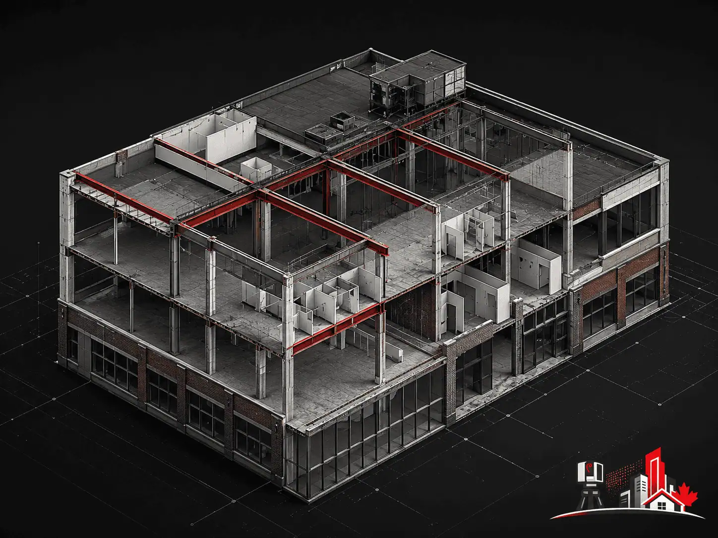
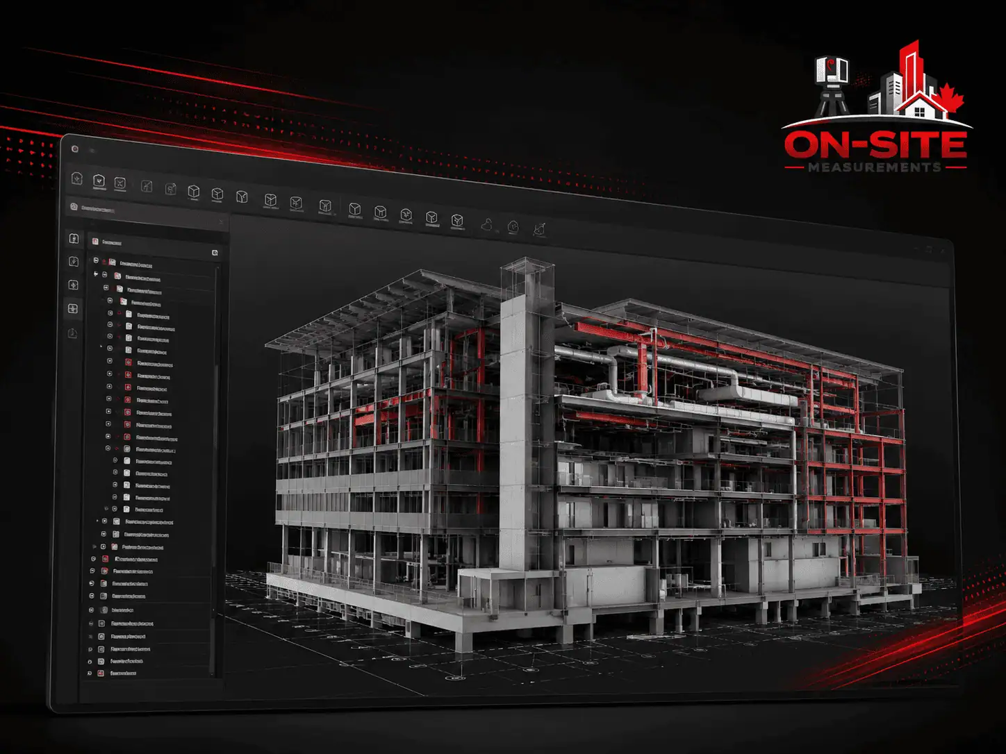
Request a QuoteA Revit or IFC model built from measured point cloud data. Every project starts with a defined scope and a confirmed level of detail. The model reflects visible, accessible, measured existing conditions, not design intent or engineering assumptions.
What Our Scan to BIM Services Include
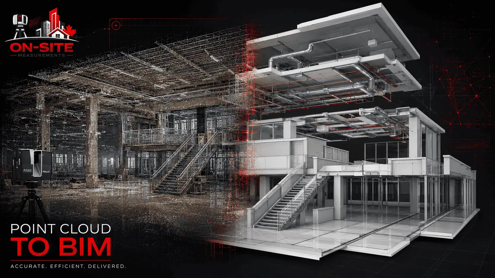
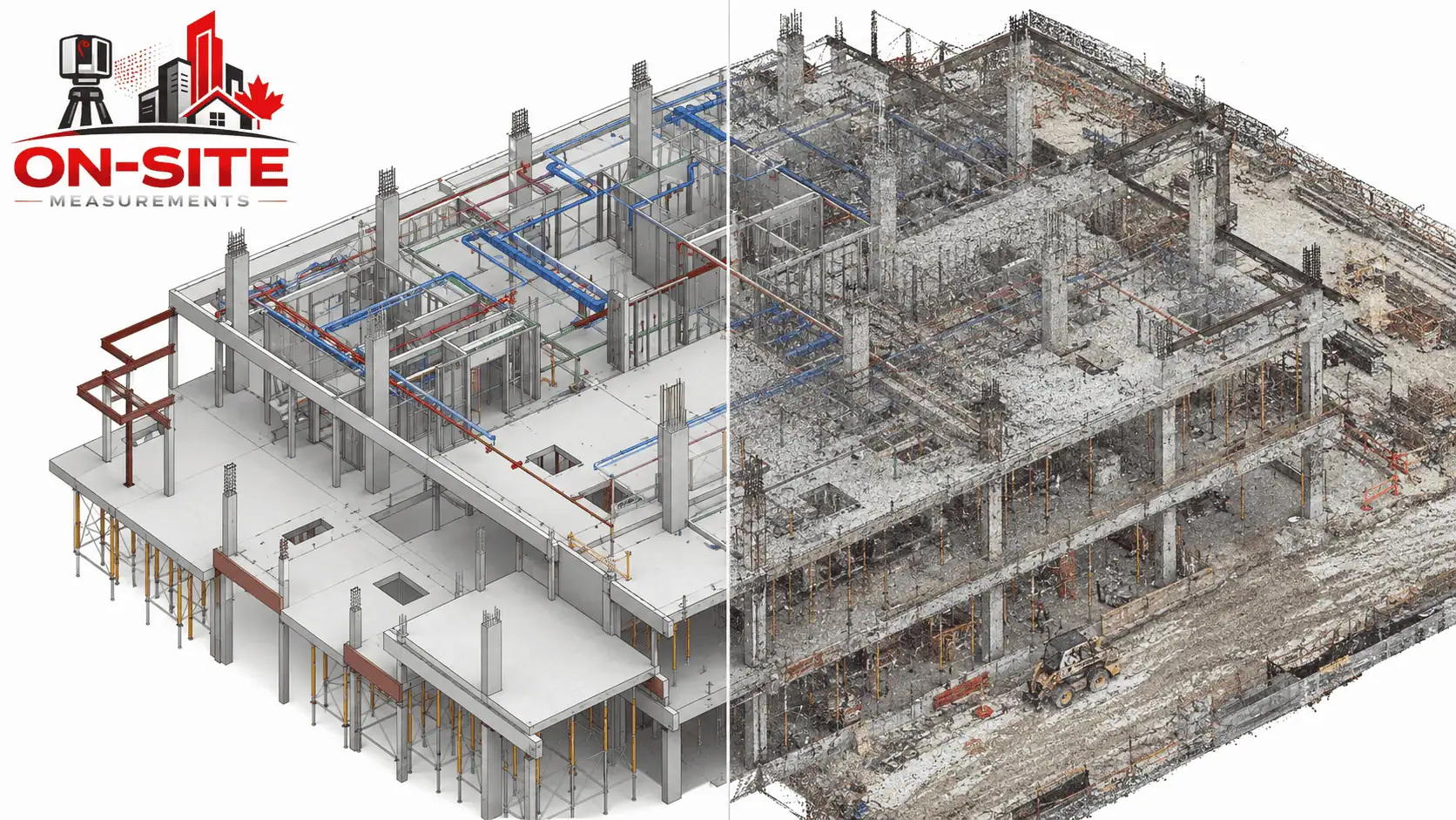
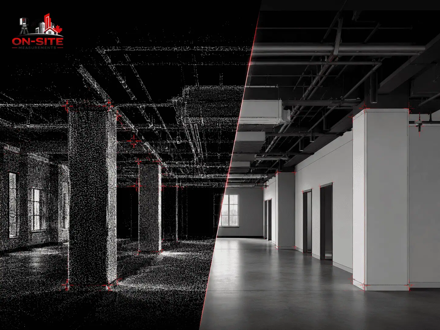
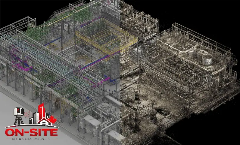
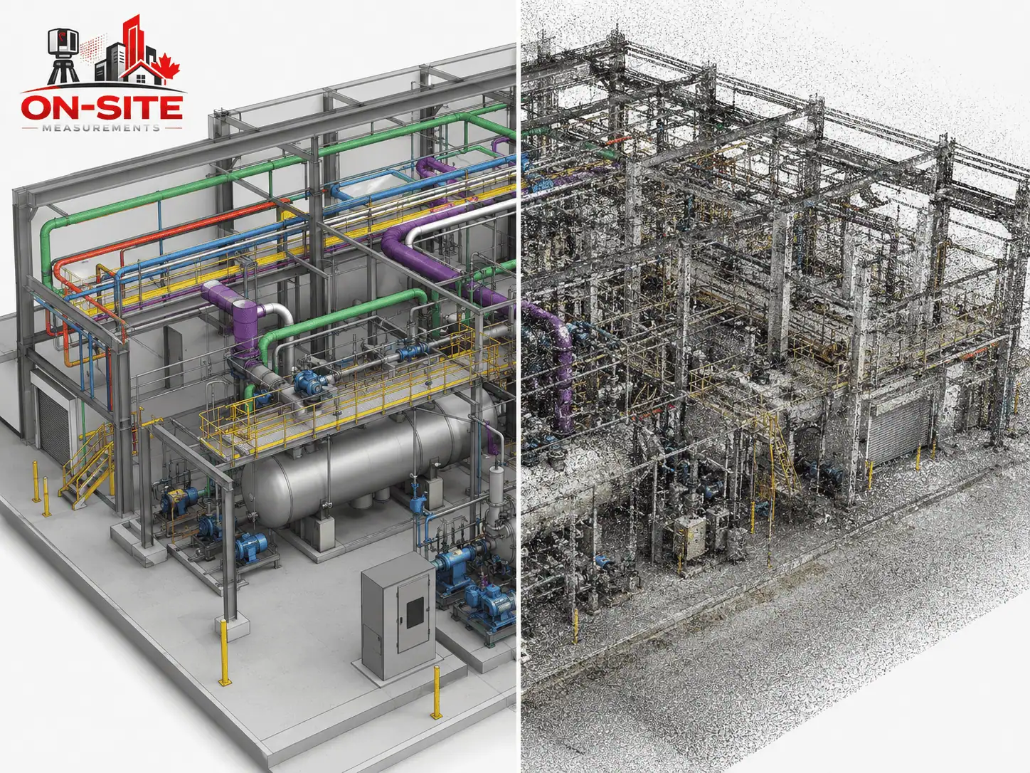
Scan to BIM uses a registered point cloud as the dimensional reference for building a structured existing-conditions model. The model is produced by a technician working from that data, not automatically generated by the scanner.
Point cloud reference
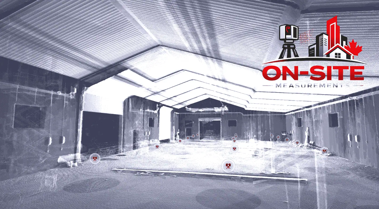
Every project starts with a registered point cloud. We can capture this on site using 3D laser scanning, or work from a client-provided dataset if it meets the coverage requirements for the agreed scope. Either way, the point cloud becomes the dimensional reference for every modeling decision.
Technician modeling
A modeler builds the agreed elements in Revit using the point cloud as the reference. Scope, level of detail, and element types are confirmed before production begins. Decisions made during modeling are documented as part of the project record.
Scope and related services
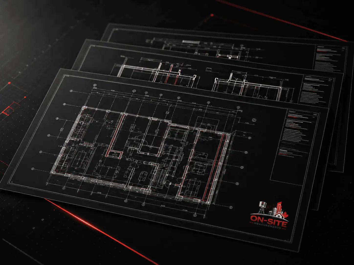
If your team needs 2D existing-conditions drawings in DWG or PDF, see our as-built drawing services. If you need the registered point cloud without a modeled layer, see our 3D laser scanning services.
If you are weighing a model against 2D drawings, read Scan to BIM vs traditional as-builts. For checking built work against the design model, see our as-built verification services and the article on deviation analysis. City detail: Scan to BIM in Toronto, Vancouver and Calgary. A worked example is the industrial facility Scan to BIM project in Calgary.
Before Production Begins
These items must be confirmed before work starts. Raising them after delivery causes rework and cost.
Level of detail
Agree on what each element type needs to show before modeling begins. A wall at schematic level is a solid volume at the correct location. At a coordination level it may include layer breakdown and precisely dimensioned openings. Scope the LOD to what the project actually needs, not the highest possible, so production time matches real downstream use.
Revit version compatibility
The Revit version for production must match your team's environment. File version mismatches at handoff are one of the most common avoidable delays on Scan to BIM projects. Confirm the target version before production begins.
Point cloud source
If we are capturing the scan, access logistics and field coordination are part of the scope discussion. If you are providing a registered point cloud, we review it for coverage and data quality before modeling starts. A dataset that does not cover the agreed scope cannot support modeling of those areas.
Site access and coverage
Areas not accessible during the field visit cannot be scanned or modeled. Restricted, hazardous, or heavily occupied zones must be flagged before mobilization. Coverage gaps discovered after the project closes may require a return visit and a revised scope.
Frequently Asked
Common Scan to BIM Questions
What is Scan to BIM?
Scan to BIM is the process of using a registered point cloud as the reference for building a structured existing-conditions model in Revit or another BIM authoring tool. The point cloud is captured using 3D laser scanning. A technician uses that scan data as a dimensional reference to model the agreed elements at the agreed level of detail. The scanner does not automatically generate the model. Modeling requires scope definition, production decisions, and QA review against the point cloud before delivery.
What is the difference between Scan to BIM and as-built drawings?
Scan to BIM produces a structured 3D model in a format like RVT or IFC. As-built drawings produce 2D views in DWG or PDF. The right deliverable depends on the downstream team's software and what they need to do with the data. A team working in Revit that needs an existing-conditions model as a reference for design coordination typically needs Scan to BIM. A team using AutoCAD that needs a flat drawing to design from or share with contractors typically needs as-built drawings. See our as-built drawing services for more detail.
What does level of detail mean for Scan to BIM?
Level of detail describes how precisely each element in the model is built and what it includes. A wall modeled at a basic level might be a solid volume at the correct location and height. A wall modeled at a more detailed level might include layer breakdown, precisely dimensioned openings, and carefully resolved edge conditions. The level of detail for each element type should be agreed before production begins. Confirming what the project actually needs prevents both under-delivery and unnecessary production cost.
What file formats are delivered for Scan to BIM?
RVT is the primary delivery format for most Scan to BIM projects. IFC can support open-format interoperability when a modeled deliverable is in scope. DWG and PDF drawing sheets can be included when drawing output is part of the agreed scope. The registered point cloud reference can also be delivered alongside the model when in scope. Revit version compatibility should be confirmed during scoping to avoid file-opening problems at handoff.
What software is used for Scan to BIM?
Revit is the primary BIM authoring tool for most Scan to BIM workflows. The registered point cloud serves as the dimensional reference during modeling. IFC export is available for teams whose downstream platform requires open-format model delivery. The scanner itself does not produce the model: the model is built by a technician using the scan data as a reference.
How accurate are Scan to BIM models?
Model accuracy depends on the quality of the point cloud, the scanner and field workflow used during capture, site conditions and surface types, field coverage, and the agreed level of detail. Accuracy requirements should be discussed during scope confirmation. We do not state a specific tolerance because the right answer varies by project.
What can go wrong with a Scan to BIM project?
The most common sources of rework are: scope not defined before production began, areas that could not be accessed during the field visit, reflective or moving surfaces that produced limited point cloud data, level of detail not confirmed before modeling started, a Revit version mismatch between production and the project team, and file format requirements discussed after delivery. Most of these are manageable when identified during scoping.
What affects the cost of Scan to BIM?
Cost depends on the size of the area, point cloud quality, modeling scope, element density, required level of detail, file formats, Revit version requirements, and whether the project needs architectural, structural, MEP, or combined modeling. The scope should be confirmed before quoting.
Have a project in mind?
Send us the site, scope, and deliverables you need.
We will help confirm the right capture method before work begins.
Industries That Use This Service
- Scan to BIM for design coordinationRevit and IFC models from existing buildings for BIM-based design workflows.
- BIM-ready existing-condition models for engineeringCoordination models and engineering inputs from scan data.
- Existing-condition BIM for construction coordinationCoordination models for renovation and trade-coordination workflows.
- BIM models for facility operationsExisting-condition BIM for facilities using BIM-based operations platforms.
This Service in Specific Cities
City-specific pages with local project context, use cases, and quote guidance.
- Scan to BIM in TorontoScan to BIM services for Toronto and GTA design coordination, renovation, and building documentation projects.
- Scan to BIM in VancouverScan to BIM services for Vancouver and Lower Mainland design coordination, renovation, and existing-condition BIM projects.
- Scan to BIM in CalgaryScan to BIM services for Calgary commercial renovation, design coordination, and existing-condition Revit model projects.