About On-Site Measurements
On-Site Measurements provides field measurement and reality capture services to Canadian project teams who need reliable existing-condition documentation, from as-built drawings and 3D laser scanning to Scan to BIM, CAD drafting, drone services, and 3D virtual tours.
A practical measurement team built around project documentation.
On-Site Measurements was built around one straightforward idea: project teams need accurate, field-verified documentation they can actually rely on. We work with architects, engineers, contractors, and facility teams across Canada to capture and deliver the existing-condition data their projects depend on.
The work spans the full range of measurement and reality capture services, from site visits and point cloud capture to as-built drawings, Revit models, CAD packages, drone surveys, and 3D virtual tours. Every deliverable is project-ready and scoped clearly before work begins.
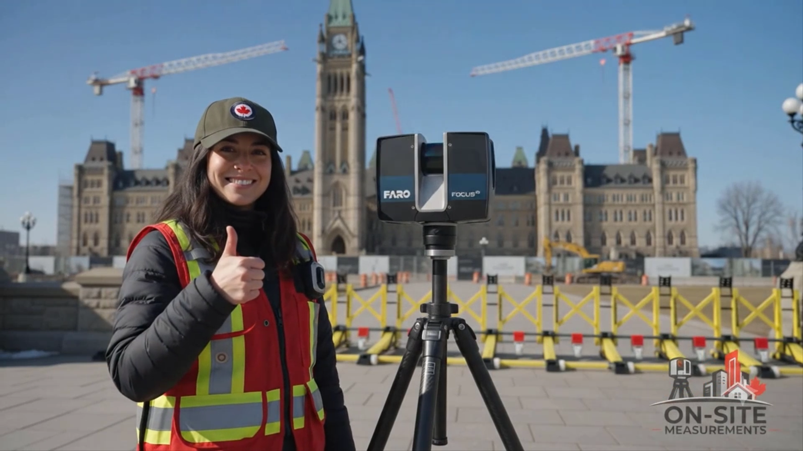
Built from Field Experience
The team behind On-Site Measurements came up through hands-on industry work, not through sales or marketing. The background includes direct experience in field measurement, reality capture, surveying-related workflows, CAD and BIM coordination, and project documentation.
That experience shapes how we approach every project. We understand what goes wrong in the field, how scan data is used by the teams downstream, and what it takes to deliver documentation that actually reduces guesswork rather than creating more of it.
We support clients who need to plan renovations accurately, coordinate design against existing conditions, document facilities for ongoing management, or capture a site before work begins.
What that experience covers
- Direct experience with field measurement and reality capture workflows, not just product knowledge
- Practical understanding of how scan data is used downstream in design, coordination, and documentation
- Familiarity with the challenges teams face on site: access constraints, scheduling, existing-condition surprises
- Over a decade of direct industry experience and more than two decades of combined team experience
Hardware, Software, and Real Project Workflows
The team understands both sides of a measurement project, the hardware side and the software side. That means we can manage the full workflow: from field capture planning and scanner setup through to point cloud processing, drawing production, and model delivery.
We work within the technology ecosystems that AEC project teams already use, including Autodesk, FARO, Trimble, and related platforms, so deliverables fit into your existing workflows without friction.
Hardware setup, scanner calibration, and field capture planning
Point cloud registration, processing, and quality review
As-built drawing production from scan data
Revit and BIM model development aligned to project LOD requirements
CAD drafting and documentation deliverables in DWG and PDF
Drone capture for site surveys, roof assessments, and aerial documentation
Who We Help
We support Canadian project teams who need existing-condition documentation they can build from. The common thread is a need for accurate, field-verified data to support design, coordination, renovation planning, or ongoing facility management.
Technology Ecosystems We Work With
Our team has experience working with leading reality capture, survey, and design technology ecosystems used across the AEC industry. This familiarity allows us to deliver project-ready outputs that integrate with the tools your team already uses.



Technology references indicate team familiarity with these ecosystems. They do not imply official partnership, certification, or endorsement.
Tell us about your site or project.
Share the site location, what you need documented, and the deliverable your team is working toward. We will come back with a clear scope and price within 24 hours.