






Technical Notes and Common Questions
We document existing site conditions as point cloud data that architects, engineers, contractors, and facility teams can measure, coordinate, and build from.
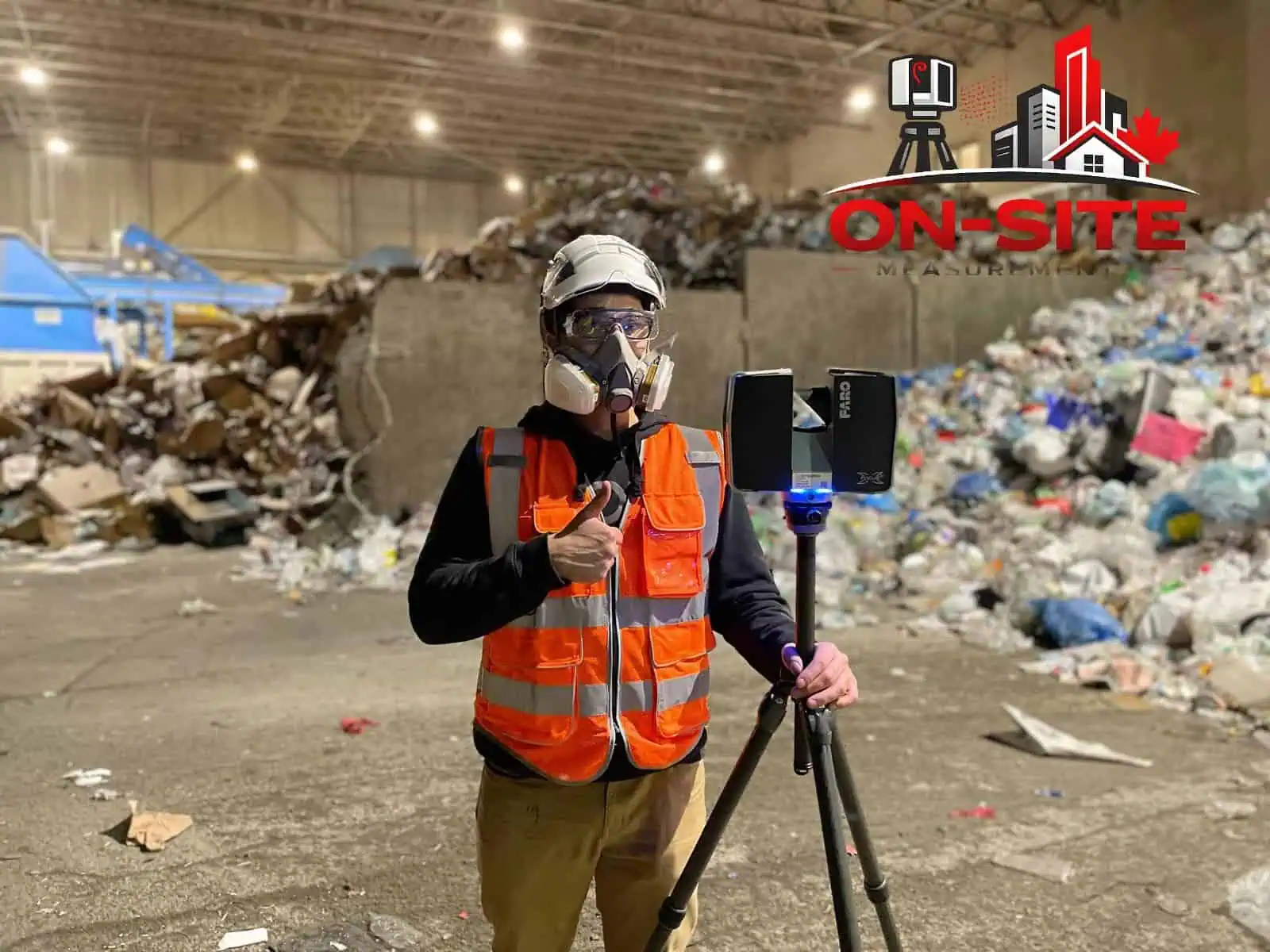
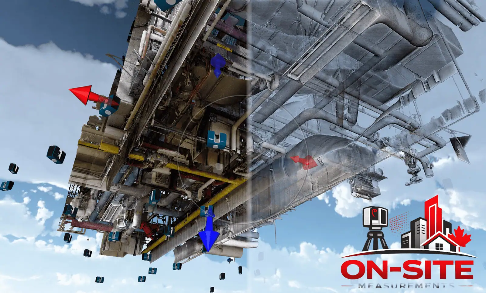
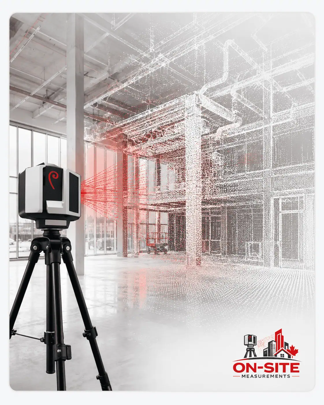
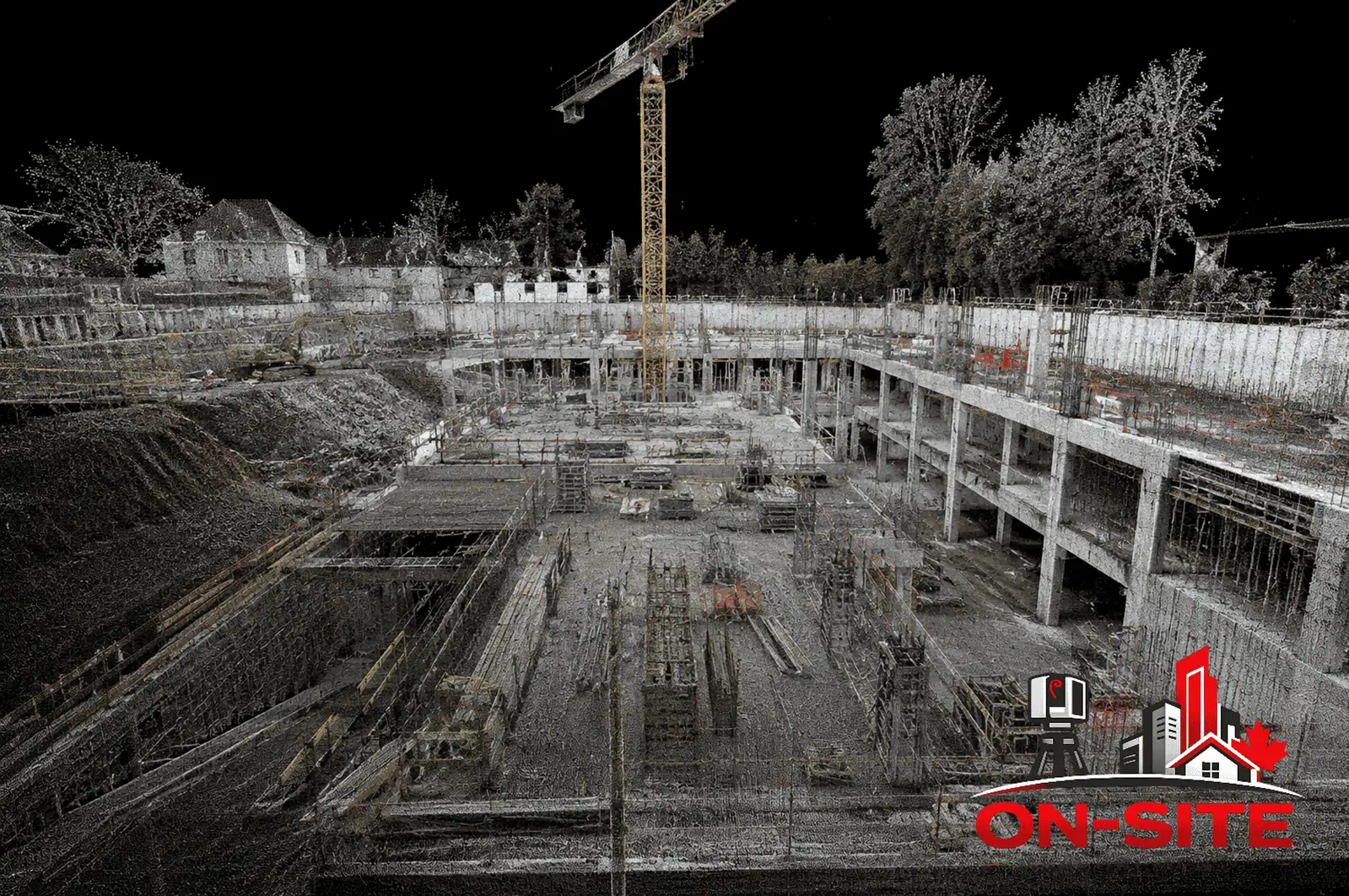
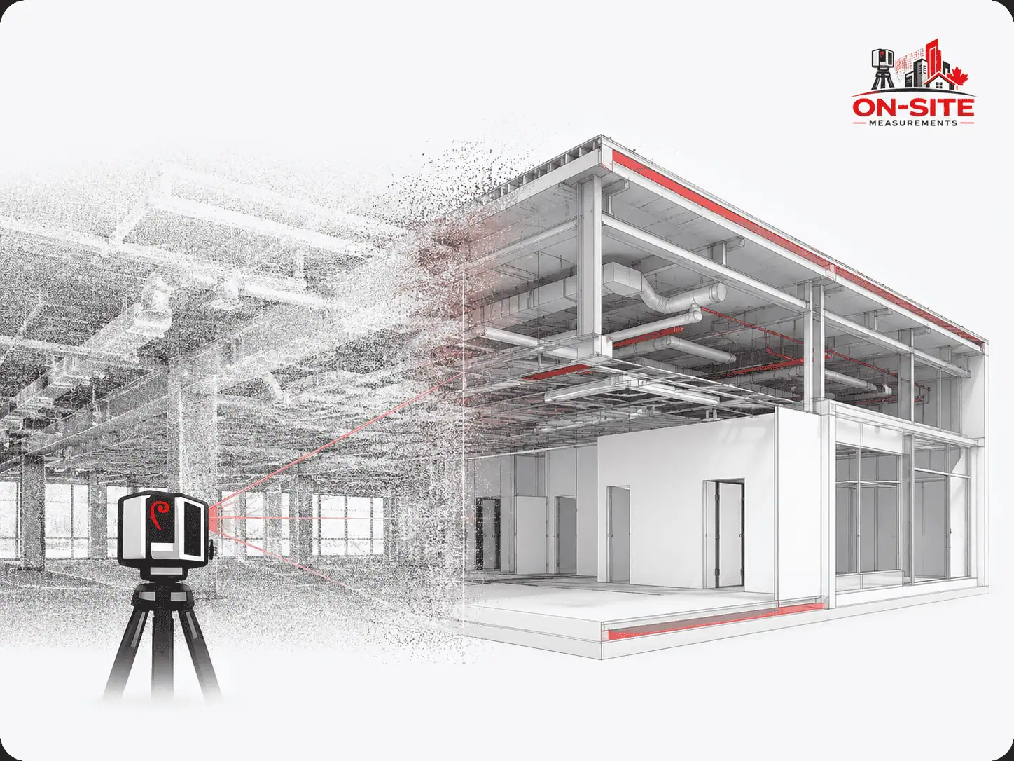
3D laser scanning captures what is actually in a space, not what the drawings say should be there. A scanner sends out laser pulses, measures the distance and angle of each return, and builds a dense measurable dataset called a point cloud. That dataset becomes the reference for design, coordination, documentation, and modeling. Laser scanning is the core of what the industry calls reality capture: recording the built environment as it exists and delivering it as measurable point cloud data. If the terms are new to you, our explainer on reality capture versus 3D laser scanning sorts out which method fits which deliverable.
Scanning Approaches
Two methods are used for built-environment and industrial projects.
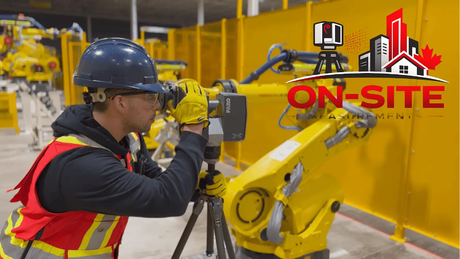
Static terrestrial laser scanning (TLS) uses a scanner on a fixed tripod at multiple positions. It rotates and captures a full spherical scan at each position. This approach is generally better suited where accuracy and controlled capture are priorities.
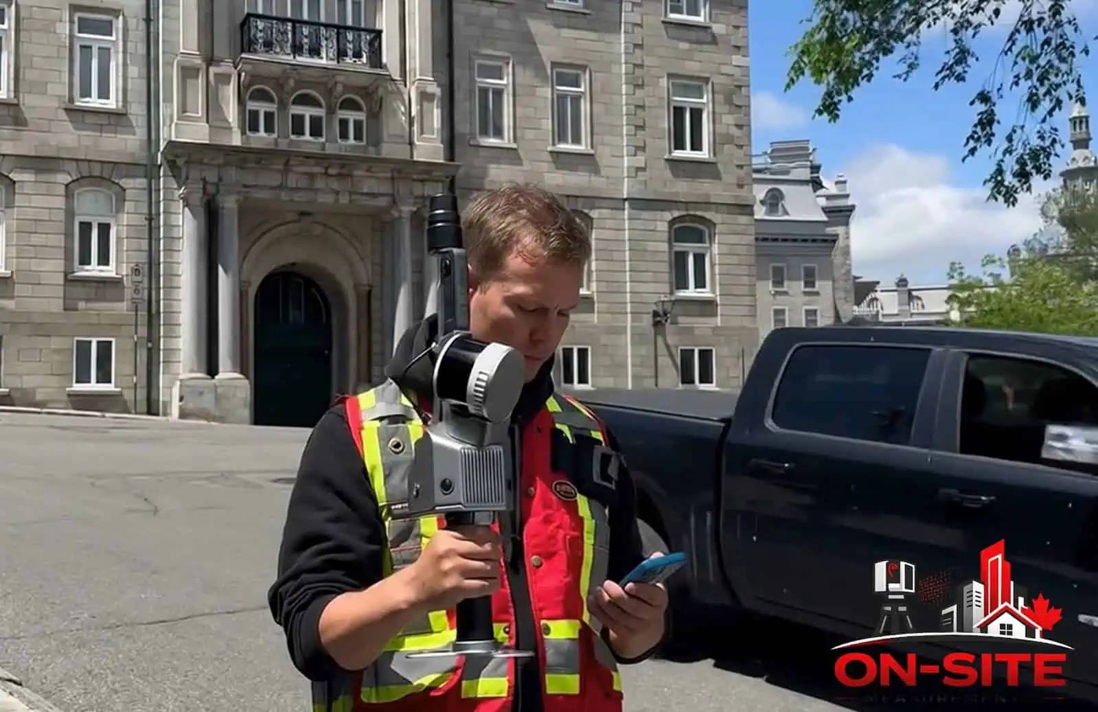
Mobile and SLAM-based scanning uses a handheld or cart-mounted scanner that moves through the space continuously. It can cover larger areas quickly, though accuracy depends on site conditions, loop closure quality, and how the data will be used downstream.
During scoping, we confirm which approach fits the project type, required deliverables, and site conditions.
For a sense of what drives a quote, see our guide to 3D laser scanning costs in Canada, and for what happens on the day, what to expect during a scanning site visit. Planning a fit-out or a new lease? Read about scanning retail and commercial spaces before renovation. Point clouds are usually the starting point for as-built drawings or a Scan to BIM model. City-specific detail is on our 3D laser scanning in Toronto, Vancouver and Calgary pages, and a worked example is the heritage building laser scanning project in Toronto.
Frequently Asked
Common Questions
What is 3D laser scanning and what does it capture?
3D laser scanning is a field measurement method. A scanner sends out laser pulses, measures the distance and angle of each return, and builds a dense 3D dataset called a point cloud. This dataset represents visible surfaces within the scanner's line of sight and agreed scope. Areas blocked by obstructions, physically inaccessible, or outside the agreed scope are not captured.
What deliverables will I receive from a laser scanning project?
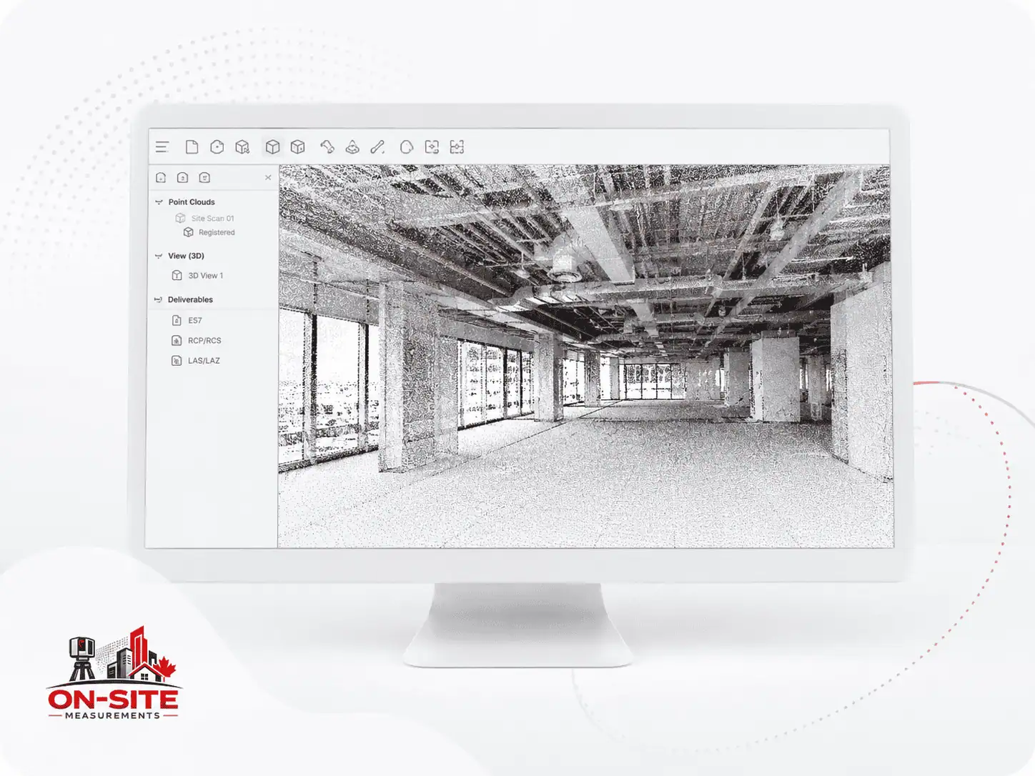
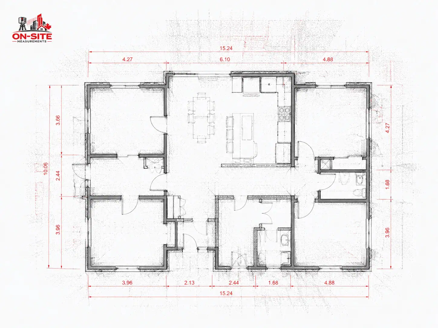
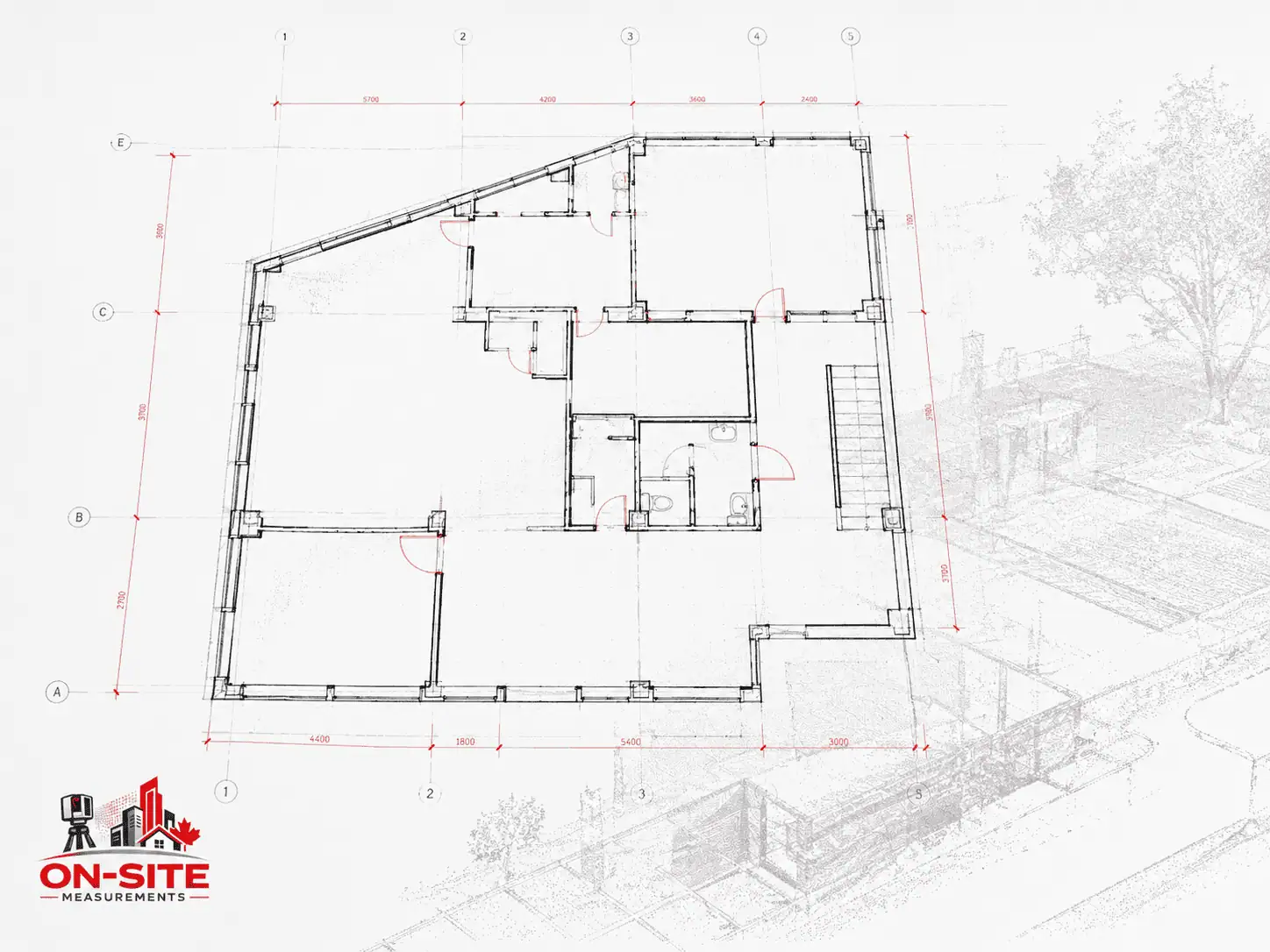
Deliverables depend on the agreed scope. A registered point cloud is the common core deliverable, available in E57, RCP/RCS, and LAS/LAZ formats. Depending on the scope, additional deliverables can include 2D as-built drawings in DWG or PDF, a Scan to BIM model in RVT or IFC, or CAD-based files. The right deliverable depends on what your team will do with the data and which software they use.
What is the difference between a point cloud and a BIM model?
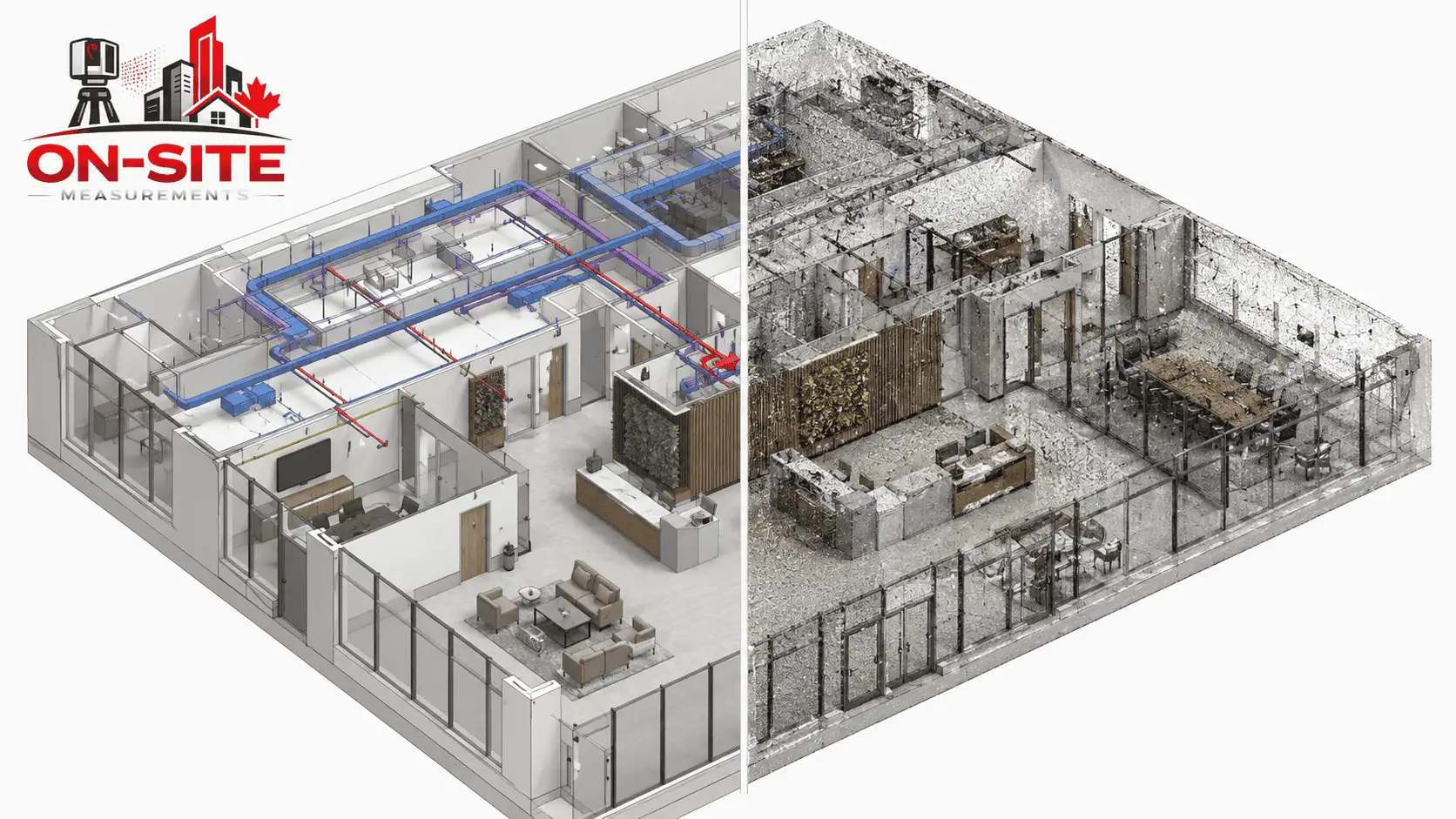
A point cloud is raw scan data: a dense set of measured points in 3D space. A BIM model is a structured, modeled dataset built from that data. Scan to BIM is a separate modeling service where a technician uses the point cloud as a reference to build a Revit or IFC model. The scanner does not automatically produce a BIM model.
What affects the cost of 3D laser scanning services?
Project cost depends on site size and complexity, access constraints, number of scan positions required, required deliverables, and any modeling or drafting scope. We do not publish standard pricing because project conditions vary. Contact us with your project details and we will discuss what the scope realistically involves.
What affects the accuracy of a laser scan?
Accuracy depends on the scanner used, the number and placement of scan positions, how well positions overlap, registration quality, and site conditions including surface type and scan distance. Reflective surfaces, moving objects, and occupied spaces can affect data quality. Accuracy requirements should be discussed during scope confirmation.
How should a site be prepared before a laser scanning crew arrives?
Useful preparation includes clearing the scan area of unnecessary clutter where possible, confirming access to all areas in scope, coordinating with other trades, and flagging any restricted areas in advance. If the space is occupied, agree on access windows before mobilization. Sharing any existing drawings or CAD files helps with field planning.
What is the difference between as-built drawings and a land survey?
As-built drawings document interior building conditions: walls, structure, MEP routing, finishes, and spatial dimensions. A land survey typically documents exterior boundaries, lot lines, grades, and legal property information. These are different scopes involving different disciplines and deliverables. If your project involves boundary surveys, cadastral records, or land-related legal documentation, that is a separate professional scope.
Have a project in mind?
Send us the site, scope, and deliverables you need.
We will help confirm the right capture method before work begins.
Industries That Use This Service
- 3D laser scanning for architecture and design teamsExisting-condition capture for renovation, adaptive reuse, and design coordination.
- Scanning support for engineering firmsPoint-cloud inputs for MEP coordination, retrofit planning, and engineering workflows.
- Site scanning for construction contractorsPre-construction, progress, and renovation documentation for contractors.
- Building scan for facility management teamsRecord updates, equipment documentation, and operations reference for facility teams.
- Industrial facility scanning for retrofit planningDense point-cloud capture of plants, warehouses, and mechanical spaces.
This Service in Specific Cities
City-specific pages with local project context, use cases, and quote guidance.
- 3D Laser Scanning in Toronto3D laser scanning for Toronto and GTA construction, renovation, and facility documentation projects.
- 3D Laser Scanning in Vancouver3D laser scanning for Vancouver and Lower Mainland renovation, heritage building documentation, and facility projects.
- 3D Laser Scanning in Calgary3D laser scanning for Calgary commercial buildings, industrial facilities, mechanical rooms, and existing-condition documentation projects.