









.webp)
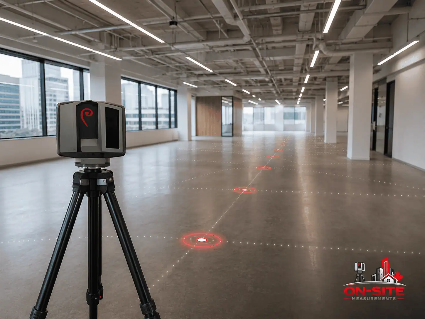
Technical Reference
Full Documentation
Service Documentation
Need the technical details before scoping? This section explains what a 3D virtual tour includes, what the tour can and cannot document, what deliverables the project receives, and what to confirm before a capture visit is planned.
Have a space to capture? Tell us the location, the purpose, and the areas you need in the tour.
Request a QuoteWe produce 3D virtual tours that let architects, engineers, facility teams, contractors, project owners, and property managers navigate an existing space from a browser without being on site.
A 3D virtual tour is a photographic walkthrough of a captured existing space. It is not a CGI render, not a pre-construction visualization, and not a measured drawing set. It is a navigable visual record of accessible conditions at the time of the capture, delivered by hosted link.
This page explains what the service includes, what the tour can and cannot document, what deliverables the project receives, and what to confirm before a capture visit is planned.
City pages: 3D virtual tours in Toronto and Calgary. For exterior and roof context, tours are often paired with drone services; see drone surveying for construction progress.
What Our 3D Virtual Tour Services Include
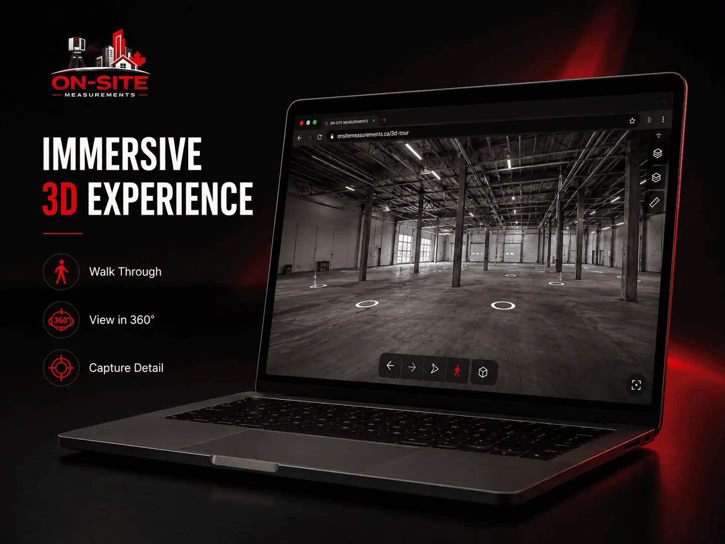
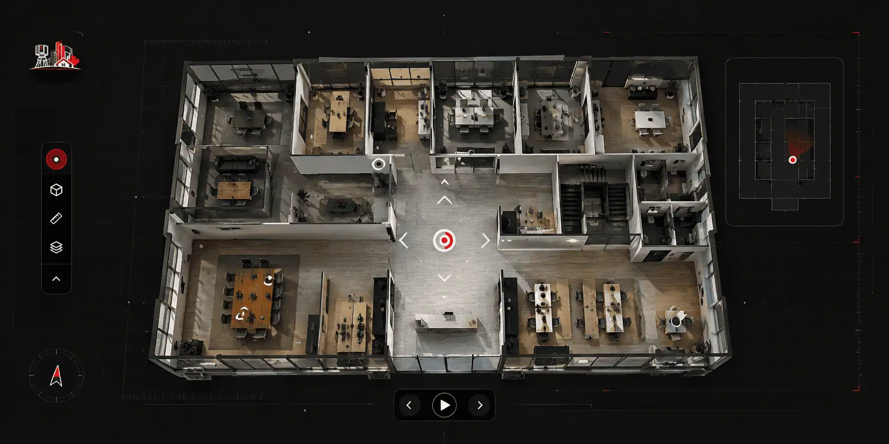
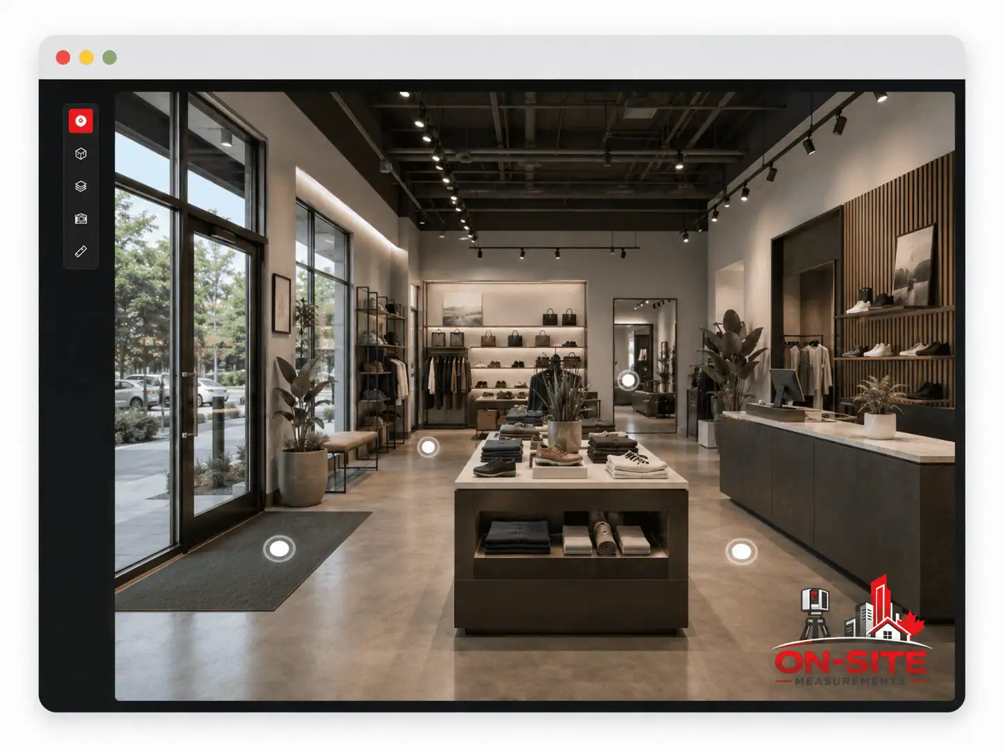
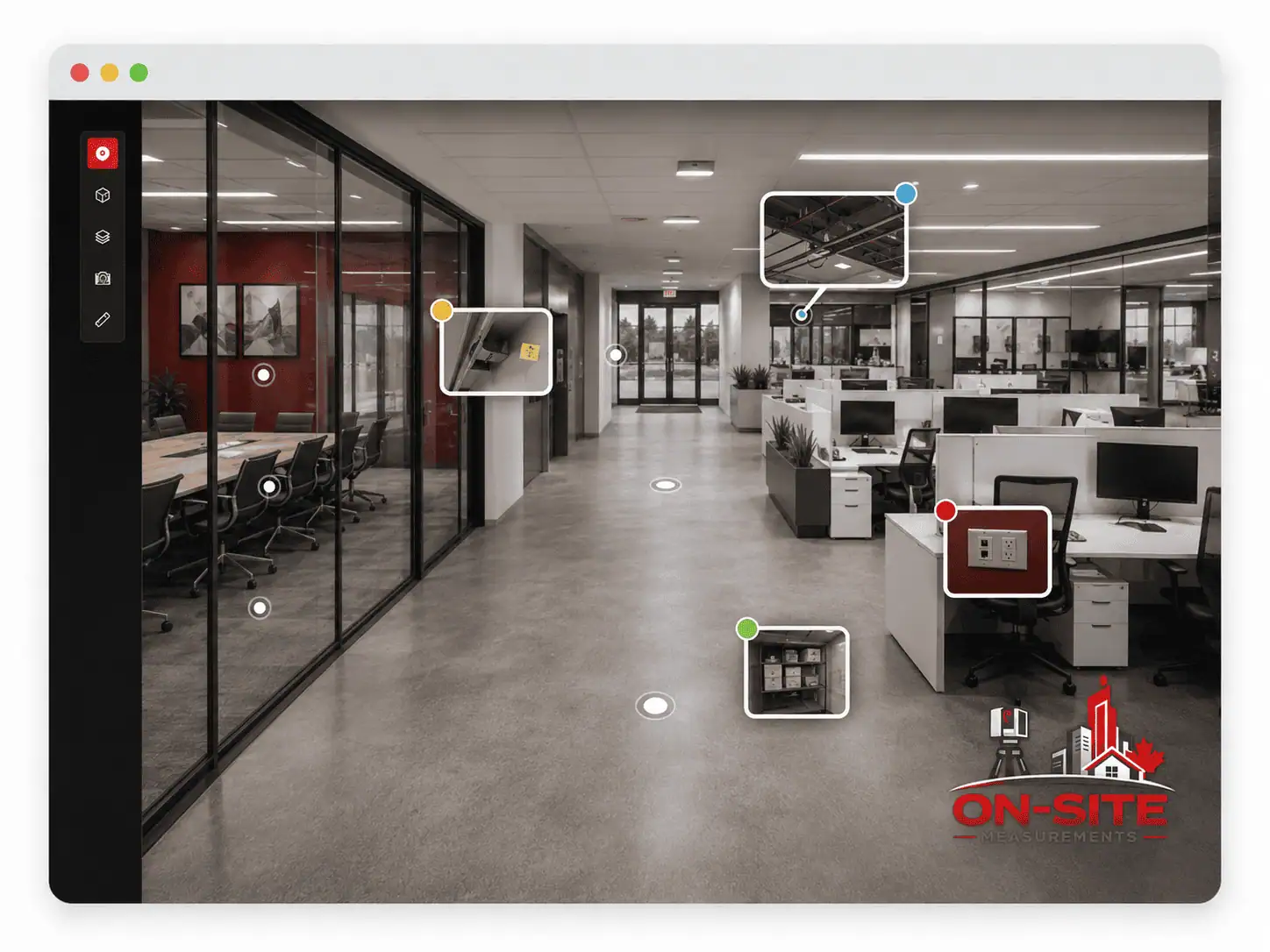
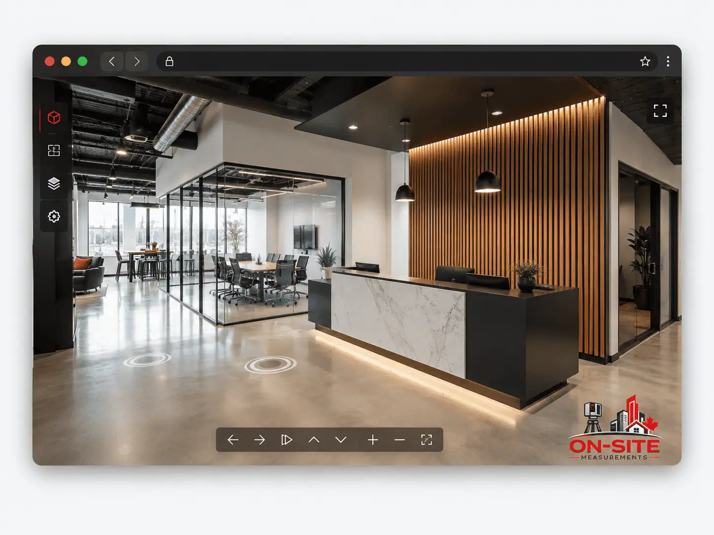
A 3D virtual tour is a browser-viewable, navigable walkthrough of a captured existing space. The tour is hosted through the platform and shared by link. Viewers can navigate through the space, switch between walkthrough and overhead views, and attach notes or annotations to specific locations. The tour documents visible, accessible conditions at the time of capture.
This is a visual documentation service. It produces a navigable record of what was visible and accessible during the field visit. It does not produce survey-grade measurements, measured drawings, or a point cloud equivalent to a dedicated terrestrial laser scanning scope. If your project requires precise dimensional data, measured as-built drawings, or a BIM model, those are separate scopes. The relevant services are described in the decision guide below.
What a 3D Virtual Tour Can Document
A 3D virtual tour documents visible, accessible conditions in the areas captured during the field visit.
The tour can show:
- Visible interior surfaces, finishes, materials, and spatial relationships
- Room layout and general geometry of accessible areas
- Accessible corridors, rooms, stairwells, and exterior areas when included in the capture scope
- Approximate spatial dimensions using the in-tour measurement tool
- Annotated notes, labels, or reference images attached to specific locations within the tour when that is part of the agreed scope
The tour cannot show by default:
- Concealed structure or elements inside wall cavities
- Above-ceiling conditions unless ceiling tiles were removed or the area was otherwise accessible during the capture
- Below-grade conditions, buried utilities, or below-slab elements
- Hidden mechanical, electrical, or plumbing elements behind finished surfaces
- Roof layers below the visible surface or inaccessible roof areas
- Any area that was not accessible and captured during the field visit
If specific areas or conditions are critical to the project, they should be discussed during scoping so the capture plan can account for them where access allows.
When 3D Virtual Tours Are the Right Fit
Not every project needs the same deliverable. Understanding which output fits the project helps avoid scoping the wrong service.
A 3D virtual tour is usually the right fit when:
- The team needs a navigable visual record of an existing space for remote review, stakeholder communication, or documentation
- Project owners, designers, or facility teams need to walk a space remotely without scheduling a site visit
- A property or facility needs a documented visual record tied to a specific point in time
- The project involves construction progress capture and the team wants a periodic visual record to review milestones remotely
- A commercial property team needs a shareable walkthrough for lease documentation, tenant review, or remote assessment
3D laser scanning may be the better fit when:
- The project requires precise dimensional data for design coordination, renovation planning, or measurement-driven workflows
- The deliverable needs to be a measured as-built drawing set, a CAD file, or a BIM model
- The team needs a registered point cloud as a dimensional reference
- See our 3D laser scanning services for detail on when scanning is the appropriate scope
As-built drawings may be the better fit when:
- The team needs a measured, dimensioned drawing set documenting existing conditions for renovation, design, or project handoff
- The deliverable is DWG or PDF format for use in a CAD or design workflow
- See our as-built drawing services for detail on that workflow
CAD drafting may be the better fit when:
- The team needs 2D CAD drawings produced from scan data or a provided point cloud
- The deliverable is a DWG file for use in AutoCAD or a compatible CAD platform
- See our CAD drafting services for detail on that workflow
If you are unsure which deliverable fits your project, a scope conversation before committing to a package can help clarify the right output.
How 3D Virtual Tours Work
1. Scope confirmation
Before any field work is planned, we confirm which areas are in scope, what the capture purpose is (facility record, construction progress, remote review, stakeholder communication, or another agreed use), and what deliverables the project requires beyond the hosted tour link. Access requirements, scheduling constraints, and any areas that must be excluded are confirmed at this stage.
2. Site planning
A field plan is prepared based on the agreed scope. This includes capture routing through the space, coverage of the agreed areas, and any access or safety considerations. Large or complex spaces, multi-floor facilities, and sites with restricted areas require more detailed planning before the visit.
3. Field capture
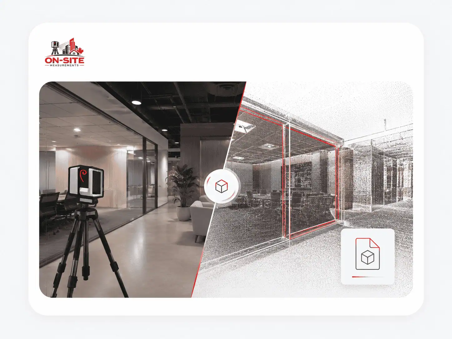
The space is captured using a 3D tour camera. The operator moves through the space systematically, capturing each scan position and confirming coverage of the agreed areas during the visit. Conditions that affect capture quality, including lighting, reflective surfaces, and access limitations, are noted during the field visit.
4. Processing
Captured scan positions are processed and stitched together to form the navigable 3D model. Processing time depends on the number of scan positions, the size of the space, and the agreed deliverables. The tour is reviewed for coverage completeness and navigation quality before delivery.
5. QA review
The tour is reviewed to confirm that the agreed areas are captured and navigable, that annotation placements are correct when applicable, and that the hosted link functions before handoff. Areas that were inaccessible or excluded during the capture are noted.
6. Handoff
The hosted tour link and any additional agreed deliverables are provided. Hosting arrangements and access responsibilities are confirmed before the project is closed.
Deliverables, Hosting, and Handoff
The deliverables from a 3D virtual tour project depend on the agreed scope.
Hosted tour link
The primary deliverable is a hosted link to the navigable 3D tour. The tour is viewable in a supported web browser through the hosted link. It can be shared by link for remote review, embedded on a website using a standard embed code, or password-protected for internal access when that is part of the agreed scope.
In-tour features
The tour includes several navigation and review features as standard elements of the platform:
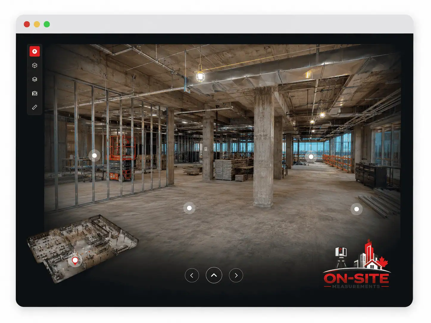
- Walkthrough view: First-person navigation through the captured space
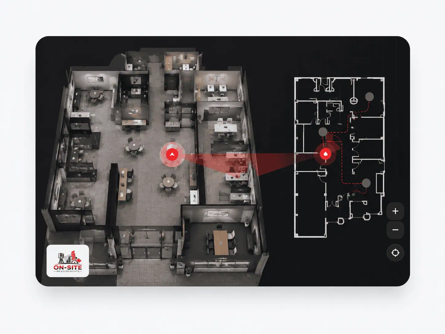
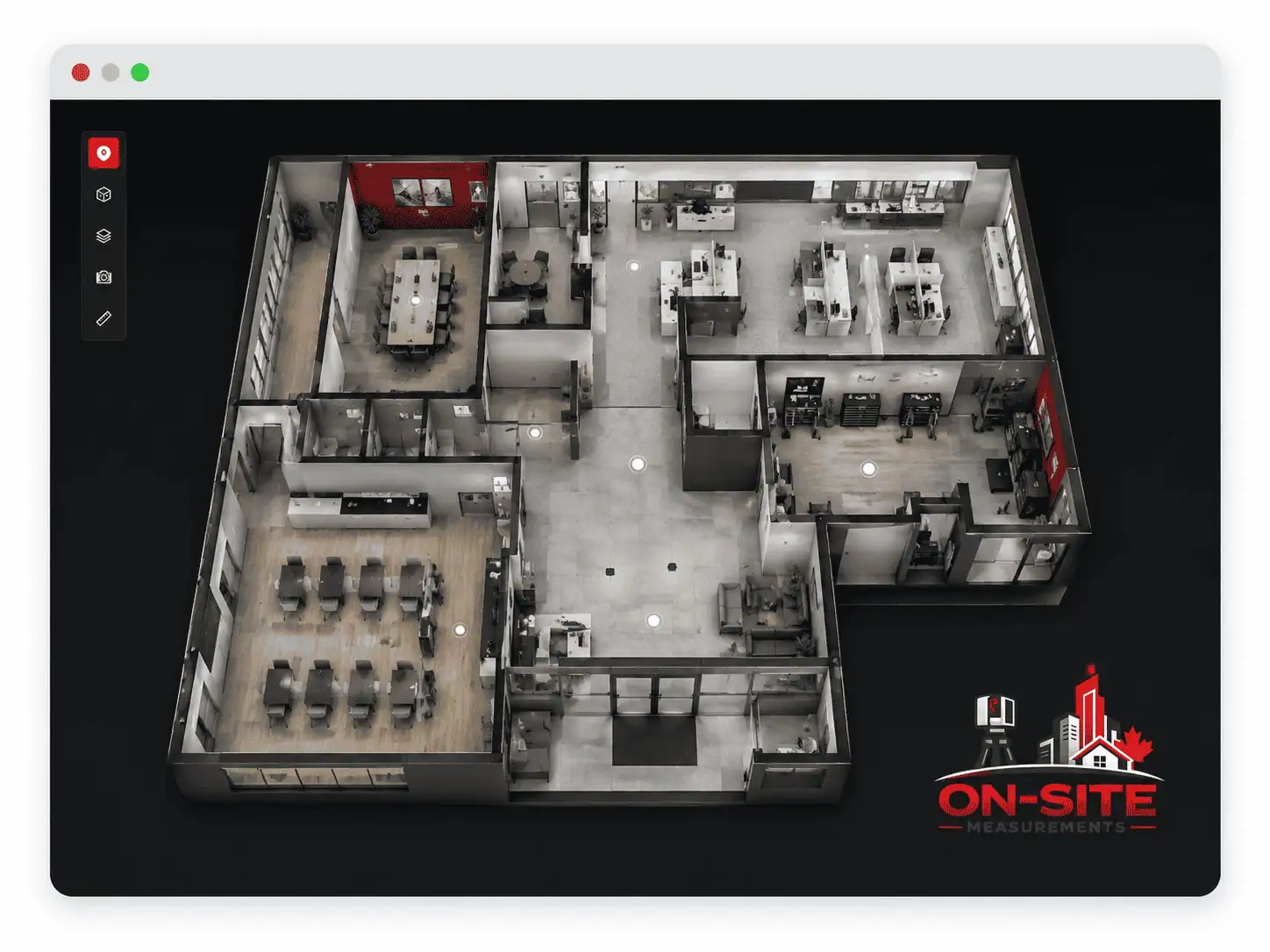
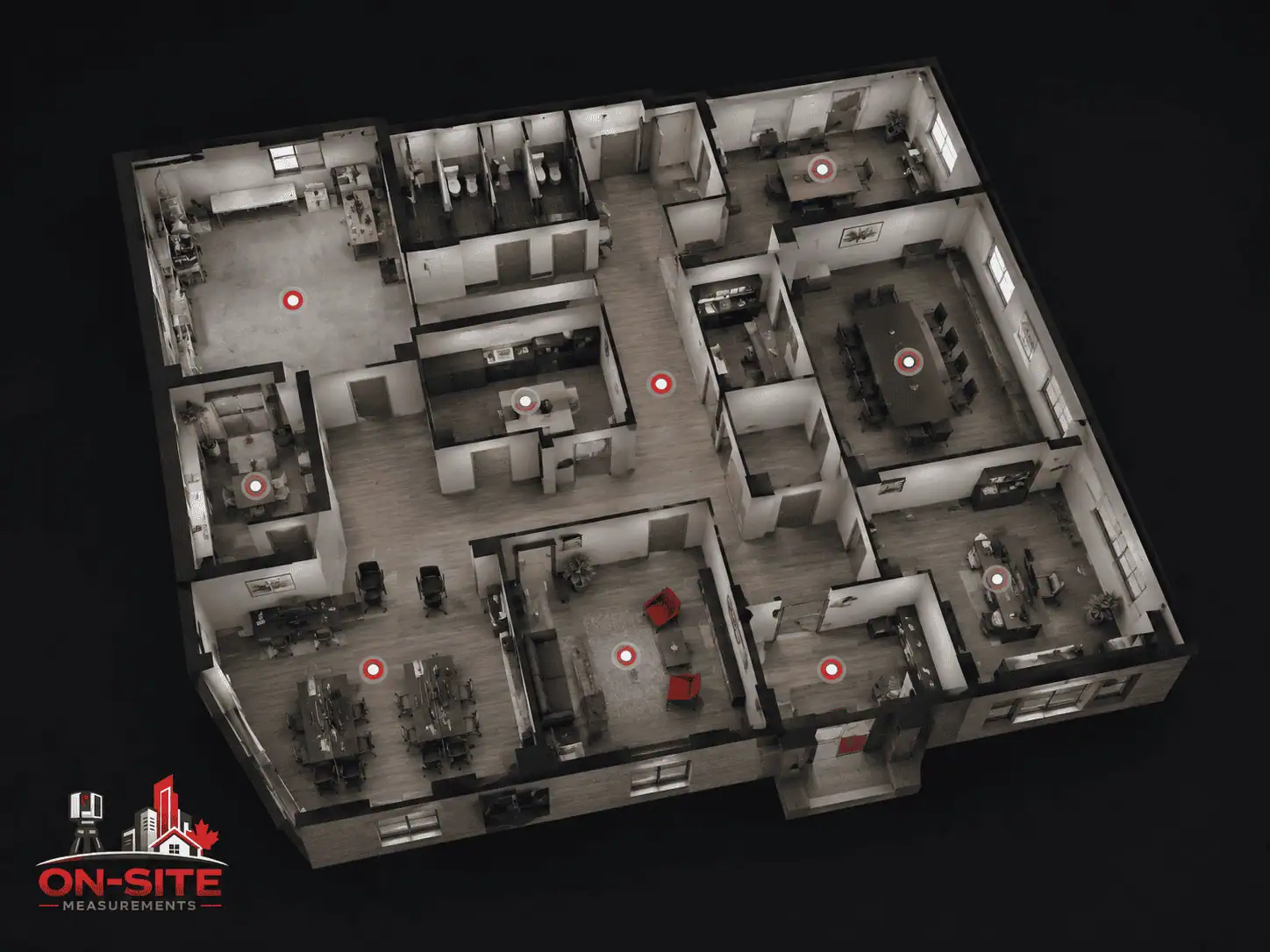
- Overhead view: Bird's-eye layout view of the captured space
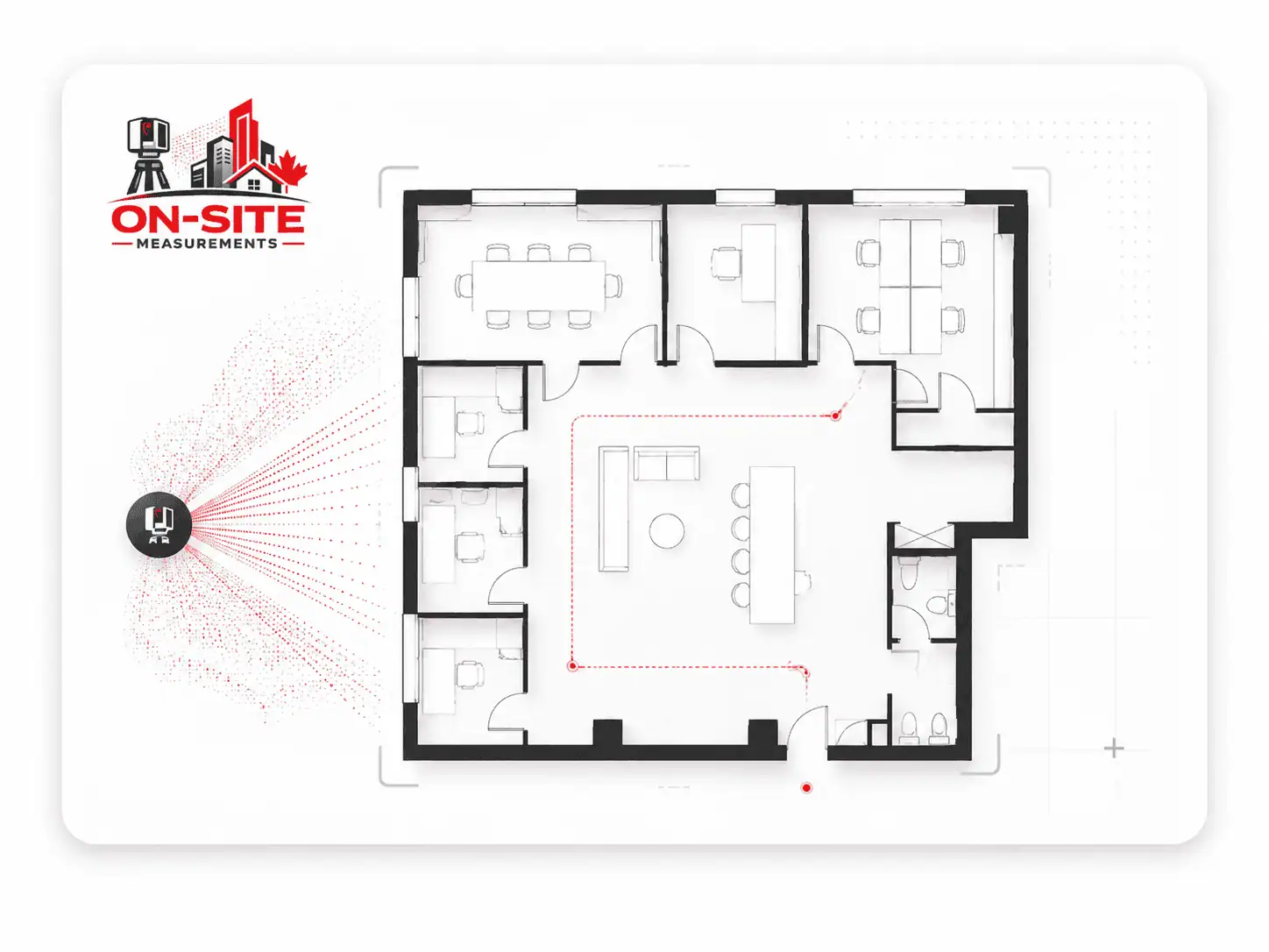
- Floor plan view: Schematic plan-level view of the captured space
- Measurement tool: Approximate in-tour measurements for general reference
- Annotations: Notes, labels, or reference content attached to specific locations when included in scope
Schematic floor plans
Schematic floor plans may be available as an optional add-on when supported and included in the agreed scope. They are approximate references derived from the capture and are not the same as measured as-built drawings or CAD drafting deliverables. If the project requires dimensioned drawings, see our as-built drawing services or CAD drafting services.
Still images
Still images or highlight snapshots of the captured space can be included when scoped. These are derived from the captured imagery and are provided as agreed during scoping.
Technical exports
Technical exports such as MatterPak or E57 may be available when scoped, depending on the capture method, platform availability, and project requirements. These exports are not a substitute for a dedicated terrestrial laser scanning scope when precise dimensional capture is required. If your project requires a registered point cloud from laser scanning, see our 3D laser scanning services.
Hosting and access
Matterport tours are hosted through the platform and accessed through the tour URL. The tour remains accessible while the hosting arrangement is active. Hosting responsibilities and access duration should be confirmed before the project is closed. If the project requires a different access model or long-term hosting arrangement, this should be discussed during scoping.
If the project requires CAD drawings, measured as-built drawings, or BIM model deliverables, those are separate scopes. See our CAD drafting services or as-built drawing services, or contact us to discuss which service fits the project.
Matterport Tours, Virtual Walkthroughs, Property Tours, and Remote Site Review
These terms are all used to describe 3D virtual tour services. They refer to different aspects of the same service, not separate offerings.
Matterport tours
Matterport is the capture and hosting platform used for 3D virtual tours. A Matterport tour is a hosted visual walkthrough of a captured space, shared by link and viewable in a supported web browser. The tour is hosted through the Matterport platform and accessed through the tour URL. On this page, Matterport tours refers to hosted 3D virtual tours delivered through the Matterport platform.
Virtual walkthroughs
A virtual walkthrough is a photographic, navigable walkthrough of a captured existing space. It is not a CGI render, not an architectural animation, and not a pre-construction visualization. It documents visible, accessible conditions at the time of capture and is delivered as a hosted link. In this context, a virtual walkthrough means a photographic, navigable record of a captured existing space.
Property tours
A property tour in this context is a virtual walkthrough of an existing commercial property, facility, or space for the purpose of remote review, lease documentation, tenant assessment, or facility records. It is distinct from real estate listing photography and residential marketing tours. For On-Site Measurements, property tours are used for commercial property, facility, lease documentation, and site-documentation contexts.
Remote site review
Remote site review is the use of a 3D virtual tour to allow project owners, facility managers, designers, contractors, or other stakeholders to review accessible site conditions from a browser without traveling to the location. Remote site review through a virtual tour documents visible, accessible conditions and is not a substitute for a physical site visit when specific assessments, measurements, or specialist reviews are required. Remote site review describes one of the main uses of the hosted tour: letting stakeholders review visible site conditions from a browser.
Industries and Common Project Types
3D virtual tours are used across a range of project types where a navigable visual record of accessible conditions supports documentation, remote review, or stakeholder communication.
Architecture and engineering
Architects and engineers use virtual tours to review existing conditions before design begins, share conditions with team members who are not on site, and document a space at a specific point in time for reference during a project. A virtual tour provides a navigable visual record of what was accessible and visible at the time of capture.
Construction and project management
Project owners, developers, and construction managers use virtual tours to capture construction progress at agreed intervals, allow remote stakeholders to review site conditions without scheduling site visits, and maintain a visual record of conditions at specific project milestones. The tour provides a documented visual reference tied to a specific date.
Commercial real estate and property management
Commercial property teams use virtual tours for prospective tenant walkthroughs, lease documentation, space condition records, and remote review during property transitions. A virtual tour allows prospective tenants or buyers to navigate a space remotely before committing to a physical visit.
Facility and asset management
Facility managers use virtual tours to document existing conditions for maintenance planning, capital budgeting, and renovation reference. A dated virtual tour of a facility creates a navigable visual record of conditions at a specific point in time, useful for tracking changes across a managed portfolio.
Heritage and cultural spaces
Virtual tours provide a navigable documentation record of heritage buildings, archives, galleries, and cultural spaces. The tours can support preservation planning, remote research access, and condition documentation for spaces where physical access is limited.
Retail and hospitality
Retail and hospitality teams use virtual tours to document existing space conditions before renovations, allow designers and contractors to review a space remotely, and create a reference record prior to fit-out or refurbishment work.
Industrial and manufacturing
Virtual tours of industrial facilities create navigable records of equipment positions, floor layouts, and visible spatial conditions. These records can support capital planning, safety training reference, and facility documentation for spaces where the layout and equipment positions need to be communicated to teams who are not on site.
What Affects Capture Quality and Scope Limitations
A 3D virtual tour documents visible, accessible conditions at the time of capture. Understanding what affects the quality of that capture matters as much as knowing what the tour can show.
Lighting conditions
Capture quality depends on available lighting. Very bright sunlight in some conditions and low-light interiors can affect the quality of captured imagery. The field plan accounts for lighting conditions where possible, but some environments are more challenging to capture than others. Lighting conditions should be discussed during scoping for spaces where this may be a concern.
Reflective surfaces
Mirrors, glass, and highly reflective surfaces can affect 3D reconstruction quality in the captured areas. Large glass facades, mirrored walls, and reflective floors are common sources of capture challenges. Areas with significant reflective surfaces should be noted during scoping.
Large open or featureless spaces
Large open areas, warehouses, and spaces with minimal surface variation can produce less reliable geometry in the 3D reconstruction. This affects navigation quality and the reliability of in-tour measurements in those areas. The scope and expected quality of capture in large open spaces should be discussed before the field visit.
Access and coverage
The tour documents areas that were accessible and captured during the field visit. Locked rooms, restricted areas, areas requiring specific access permissions, and spaces not included in the agreed scope are not part of the delivered tour. Access requirements should be confirmed before the field visit is scheduled.
Measurement limitations
Measurements taken within the tour using the in-tour measurement tool are approximate and should not be used as survey-grade measurements or as design-control measurements. If the project requires precise dimensional data from the captured space, a separate 3D laser scanning scope is the appropriate approach. See our 3D laser scanning services.
Concealed conditions
A 3D virtual tour is a visual documentation service. It cannot show concealed structure, elements inside wall cavities, above-ceiling conditions unless those areas were accessible and in scope, below-grade conditions, buried utilities, or hidden mechanical and electrical elements behind finished surfaces. If concealed conditions are relevant to the project, alternate methods should be discussed before the scope is confirmed.
On-Site Measurements does not provide
A 3D virtual tour is not an engineering inspection, a structural assessment, a mechanical or electrical inspection, a legal survey, or a professional sign-off on existing conditions. The tour documents visible, accessible conditions. How those conditions are assessed, interpreted, or acted upon in any design, permit, or regulatory context is the responsibility of the team using the tour.
What to Share Before Requesting a Quote
To prepare a clearer scope and delivery plan, it helps to have the following before we talk:
- Site location: City and province
- Project type: Facility documentation, construction progress, commercial real estate, heritage, industrial, or other
- Purpose of the tour: Remote review, stakeholder communication, facility records, construction milestone capture, property documentation, or another agreed use
- Space description: Size, number of floors, areas to include, and any areas to exclude
- Access: Occupied, active, restricted, or requiring specific access permissions or working hours
- Scheduling: When the capture visit needs to happen and whether there are phased captures planned
- Deliverables beyond the tour link: Whether schematic floor plans, still images, or technical exports are needed
- Hosting and access requirements: Whether the tour needs to be password-protected, embedded on a specific website, or accessible to a defined group
- Project deadline: When the hosted tour needs to be delivered
You do not need to have every answer before reaching out. If anything is unclear, we can work through it together during the scoping conversation.
Frequently Asked
Common Virtual Tour Questions
What is a 3D virtual tour?
A 3D virtual tour is a browser-viewable, navigable walkthrough of a captured existing space. It is produced from photographic capture of the actual space, not from CGI renders or pre-construction models. Viewers can navigate through the space, switch between walkthrough and overhead views, use an in-tour measurement tool for approximate spatial reference, and view any annotations attached to specific locations. The tour is delivered by hosted link and is viewable in a supported web browser through the hosted link.
What is the difference between a 3D virtual tour and laser scanning?
A 3D virtual tour produces a navigable visual record of a space. Laser scanning produces a dense, measured 3D point cloud that serves as the dimensional reference for as-built drawings, BIM models, and design coordination work. These are different outputs for different purposes. A virtual tour is suited to remote review, documentation, and stakeholder communication. Laser scanning is better suited for precise measurement, design coordination support, and technical documentation when captured, registered, processed, and scoped appropriately. Many projects use both: a virtual tour for communication and laser scanning for measurement-driven dimensional data or technical documentation when that level of capture is required. See our 3D laser scanning services for detail on when scanning is the appropriate scope.
What is the difference between a 3D virtual tour and as-built drawings?
A 3D virtual tour is a visual, navigable record of a space. As-built drawings are measured, dimensioned 2D drawings of existing conditions produced from scan data by a technician. A virtual tour is not a substitute for a measured drawing set. If your project requires dimensioned drawings for renovation design, technical reference, or project documentation, see our as-built drawing services.
What deliverables does a 3D virtual tour project include?
The primary deliverable is a hosted tour link. The tour includes a walkthrough view, an overhead view, a schematic floor plan view, and an in-tour measurement tool as standard in-tour features. Schematic floor plans as separate documents, still images, and technical exports may be available as optional add-ons when scoped and supported. Deliverables beyond the hosted link should be confirmed during scoping. The tour is hosted through the platform and remains accessible while the hosting arrangement is active.
Can I take measurements from a virtual tour?
The in-tour measurement tool provides approximate spatial measurements for general reference. These measurements are not survey-grade and should not be used as design-control measurements or as a substitute for laser-scan-derived dimensional data. If the project requires precise dimensional data from the captured space, a dedicated laser scanning scope is the appropriate approach. See our 3D laser scanning services.
What can a 3D virtual tour not show?
A virtual tour documents visible, accessible conditions at the time of capture. It cannot show concealed structure, elements inside wall cavities, above-ceiling conditions unless those areas were accessible and in scope, below-grade conditions, buried utilities, hidden mechanical or electrical elements behind finished surfaces, or any area that was not captured during the field visit. It is a visual documentation service, not a structural, mechanical, or engineering inspection.
What affects the quality of a virtual tour capture?
Capture quality is affected by lighting conditions (very bright or very low light), reflective surfaces such as mirrors and glass, large open or featureless spaces, and access coverage during the field visit. Areas with known capture challenges should be discussed during scoping so the field plan can account for them where possible. The tour documents areas that were accessible and captured; areas not captured are not part of the delivered tour.
How long does the tour stay available?
Matterport tours are hosted through the platform and accessed through the tour URL. The tour remains accessible while the hosting arrangement is active. Hosting responsibilities and access duration should be confirmed before the project is closed. If the project requires a specific hosting period or a particular access model, those requirements should be discussed during scoping.
Have a project in mind?
Send us the site, scope, and deliverables you need.
We will help confirm the right capture method before work begins.
Industries That Use This Service
- Virtual walkthroughs for facility recordsHosted, browser-viewable tours for remote staff, contractors, and stakeholders.
- Visual site context for design teamsRemote design review and existing-condition reference for architects and designers.
- Virtual site documentation for construction teamsField-to-office visual documentation for project teams not always on site.
This Service in Specific Cities
City-specific pages with local project context, use cases, and quote guidance.
- 3D Virtual Tours in Toronto3D virtual tours for Toronto and GTA commercial properties, facilities, and real estate documentation.
- 3D Virtual Tours in Vancouver3D virtual tours for Vancouver and Lower Mainland commercial properties, leasing, and facility documentation.
- 3D Virtual Tours in Calgary3D virtual tours for Calgary commercial properties, energy-sector facilities, leasing documentation, and remote stakeholder review.