








Technical Reference
Full Documentation
Service Documentation
Need the technical details before scoping? This section explains what drone services include, how each workflow fits, what deliverables are available, and what to confirm before any flights are planned.
Have a site to document? Tell us the location, area to cover, and what you need from the capture.
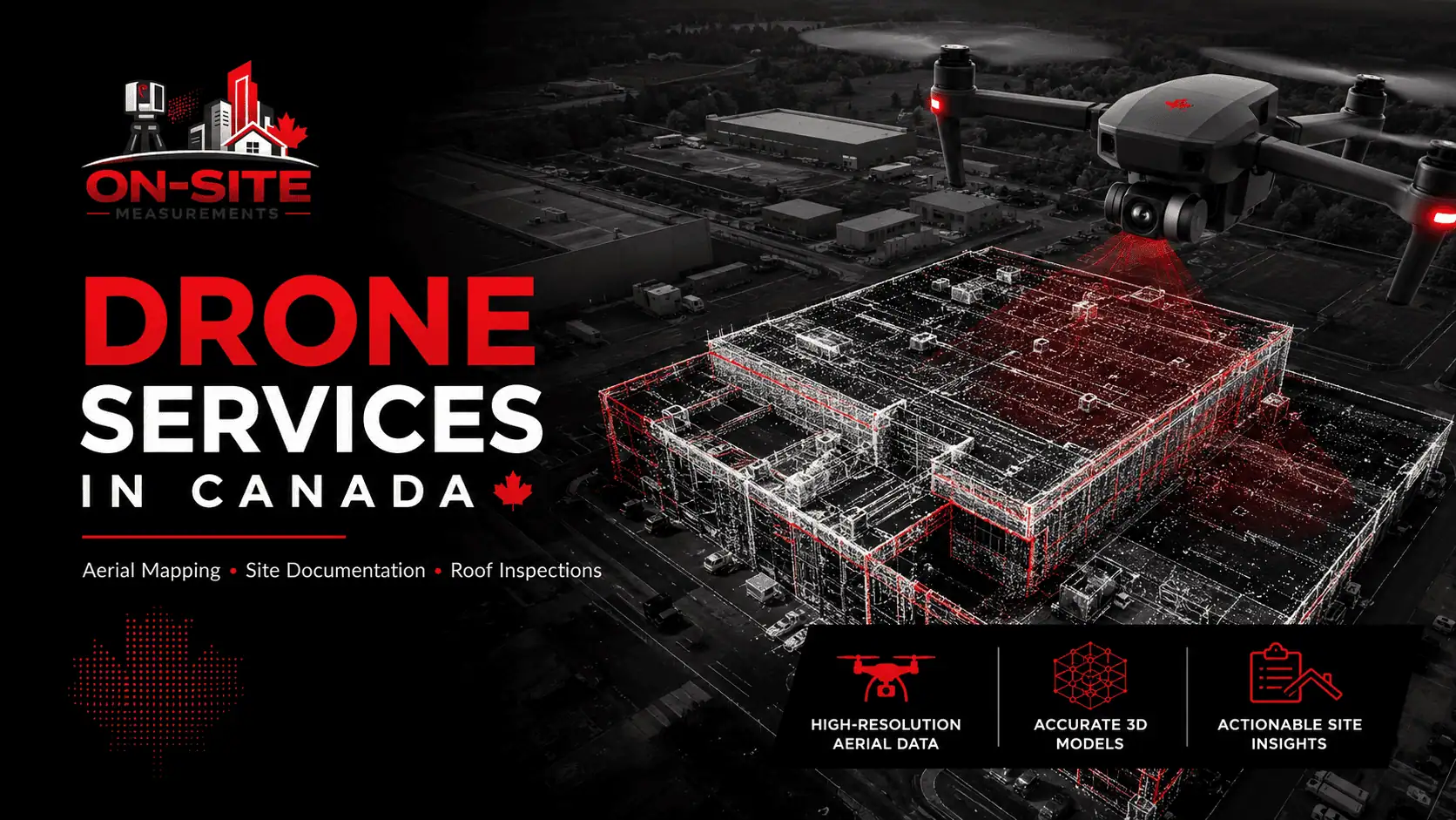
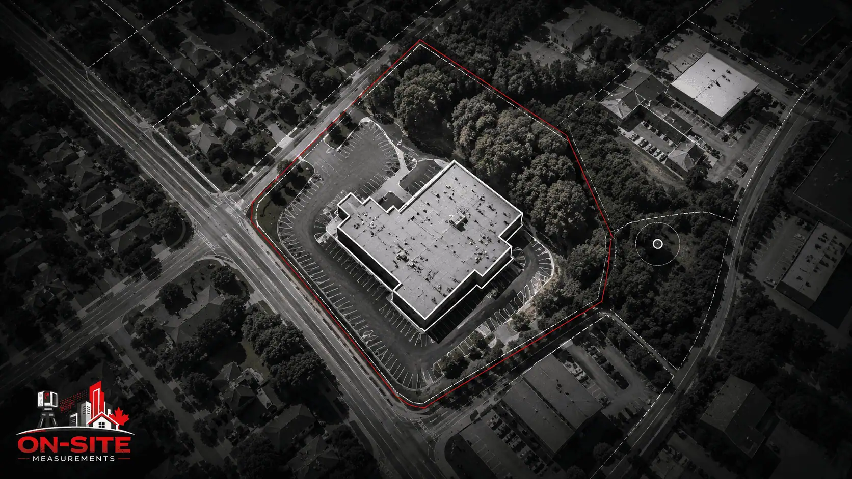
Request a QuoteWe use drones to capture aerial data for site documentation, roof condition records, construction progress, and exterior building reference. The output is georeferenced imagery, orthomosaics, and photogrammetric 3D data that project teams can use as an aerial reference for planning, documentation, and progress tracking within the agreed scope.
Drone capture works from the air. It documents what is visible from above: roof surfaces, site conditions, building exteriors, and construction progress across a project timeline. It does not capture interior conditions, below-grade conditions, or concealed elements. Understanding what aerial capture shows, and what it does not show, matters before scoping a project.
This page explains what the service includes, how each supporting workflow fits, how the field process runs, what deliverables are available, and what to confirm before a project starts.
What Our Drone Services Include
Drone Services at On-Site Measurements is aerial data capture using UAV platforms for site documentation, roof condition records, construction progress, and exterior mapping. Deliverables include georeferenced imagery, orthomosaics, photogrammetric point clouds, and elevation-derived outputs, depending on the agreed scope. Aerial mapping, drone photogrammetry, roof inspections, and site progress capture are all within this service. They are not separate offerings.
Drone capture produces aerial data from a planned flight over the agreed area. The data is processed into orthomosaics, 3D data, or other deliverables depending on what the project requires. Deliverables are not automatically generated by the drone. Processed outputs are prepared from the captured imagery and reviewed before handoff.
This service covers aerial data capture and processed deliverables from it. It does not include interior documentation, below-grade conditions, or structural assessment. If your project also requires interior existing-conditions documentation, terrestrial laser scanning is the appropriate method for that scope. See our 3D laser scanning services for detail on how that workflow runs.
What Drone Capture Can Document
Drone capture is well suited for documenting conditions that are accessible from the air and visible from above.
Roof surfaces
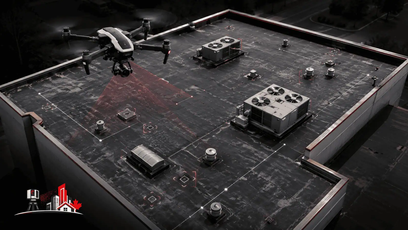
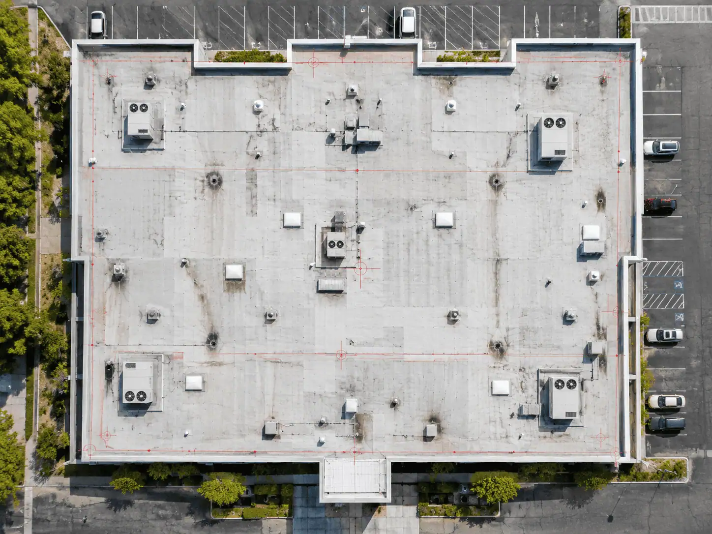
The geometry, visible surface conditions, drainage features, penetrations, and roof-level elements visible from the air during the flight. Drone roof capture documents what the drone can see. It does not document conditions below the roof surface, concealed roofing layers, or structural elements not visible from above.
Building exteriors
Aerial views of building facades, site perimeter, and exterior conditions where the flight path provides coverage. Vertical facade detail may be limited depending on flight planning and site conditions.
Construction sites
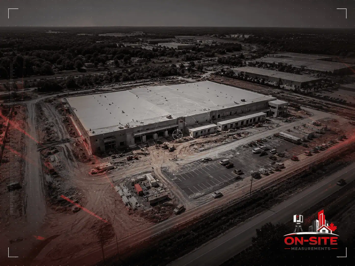
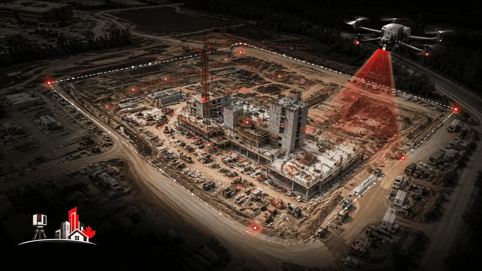
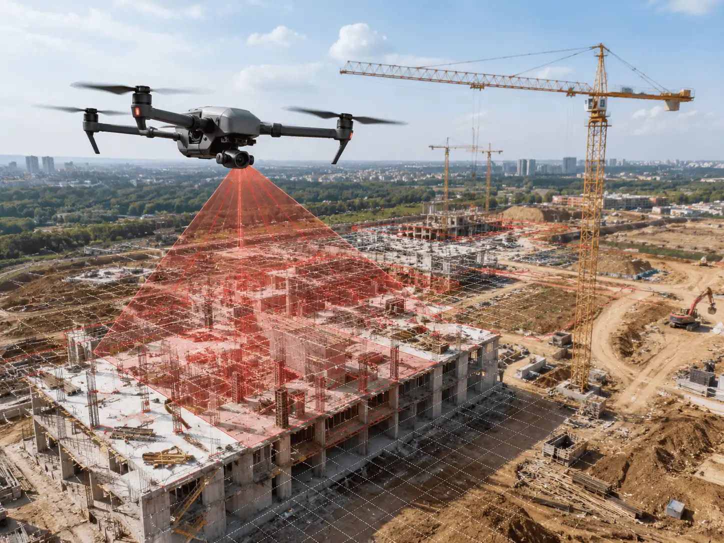
Site layout, earthworks conditions, stockpile areas, grading, and above-grade construction progress. Drone capture is commonly used across construction phases to produce dated aerial records of a site.
Large outdoor areas
Sites where ground-based access is limited, impractical, or where aerial perspective is more useful than ground-level documentation.
What drone capture does not document by default
- Interior conditions of any enclosed space
- Below-grade or buried conditions
- Concealed roofing layers or elements hidden behind parapets, flashings, or roof features
- Structural conditions below the surface
- Any area physically obstructed from the planned flight path
For projects requiring both aerial documentation and interior existing-conditions capture, drone services and 3D laser scanning services can be scoped together.
When Drone Services Is the Right Fit
Not every project requires aerial data. Understanding which output fits the project avoids scoping the wrong service.
Drone Services is usually the right fit when:
- Roof documentation is needed and physical access is unsafe, impractical, or requires expensive access equipment
- A construction site needs periodic aerial progress records across a project timeline
- A site context view or exterior aerial reference is needed as a reference for planning, design teams, or asset records
- A large outdoor area needs to be documented and ground-based methods are limited or impractical
- The project requires georeferenced aerial imagery, orthomosaics, or photogrammetric 3D data as the primary deliverable
Drone Services is not the right fit when:
- Interior documentation is required. Terrestrial laser scanning is the correct method for interior spaces. See our 3D laser scanning services.
- Precise interior geometry for MEP coordination, renovation design, or BIM modeling is required.
- Below-grade or concealed conditions are part of the scope.
- The project requires legally registered survey data, boundary information, or cadastral documentation.
If a project requires both aerial and interior documentation, a combined scope using drone capture and terrestrial scanning can be discussed during scope confirmation.
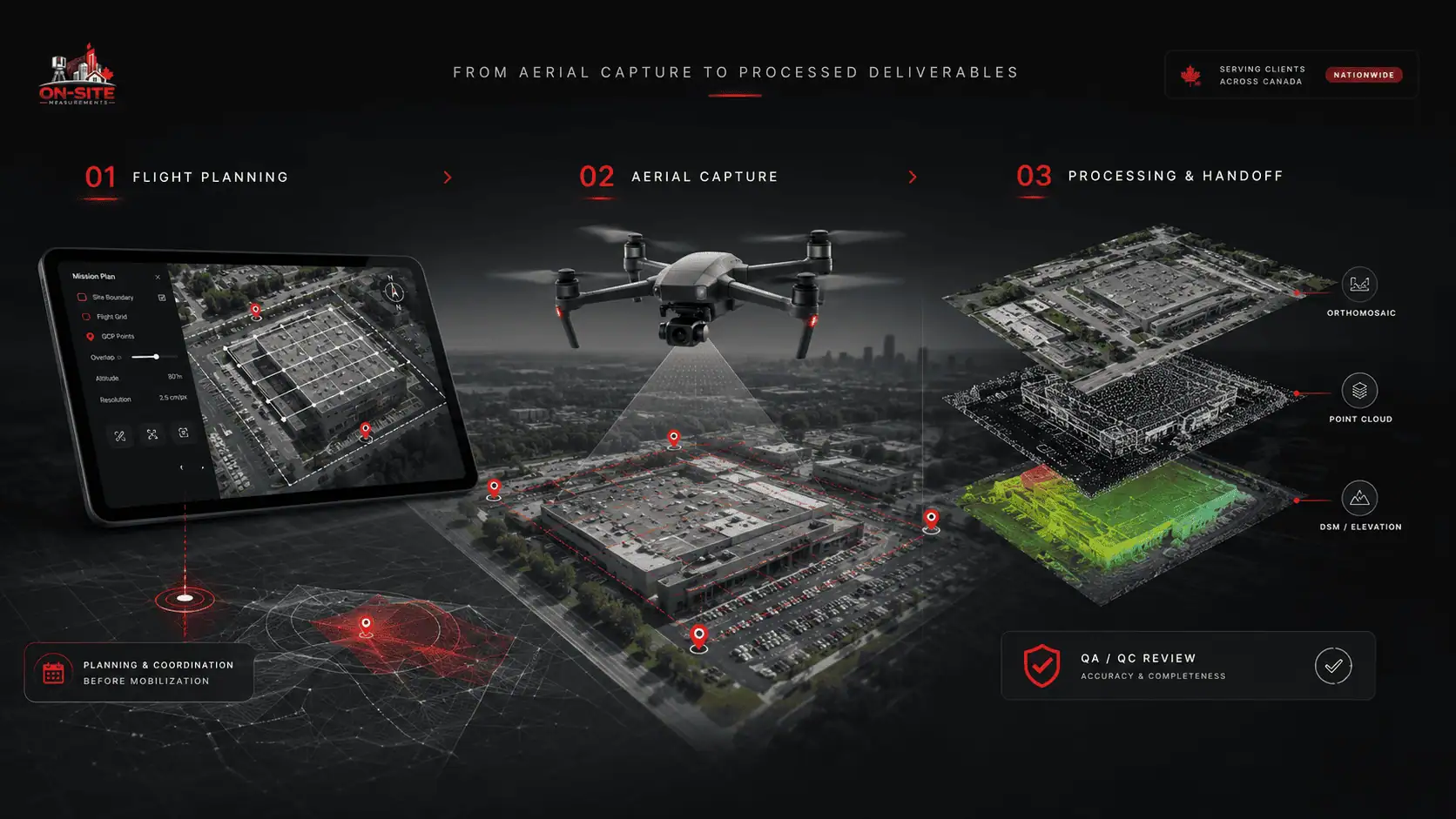
How Drone Services Work
1. Scope confirmation
Before any flights are planned, we agree on which areas are in scope, what deliverables are required, what site conditions are expected, and what access is available. Scope confirmation also identifies whether the project involves controlled airspace, proximity to aerodromes, or other factors that affect flight planning and scheduling.
2. Flight planning and regulatory review
Flight operations are planned under applicable Transport Canada RPAS requirements. The required pilot certificate, aircraft requirements, airspace authorization, and scheduling constraints depend on the drone, site location, proximity to people, aerodrome proximity, airspace classification, and the type of operation. Projects in controlled airspace or near aerodromes may require authorization through NAV CANADA, and some military or DND-controlled airspace situations may require Department of National Defence involvement before flights can proceed. This affects project lead time and should be confirmed during scoping.
3. Ground control point placement (when in scope)
Ground control points can be used when the project requires georeferenced outputs or tighter spatial control. GCPs are physical targets placed at measured positions on the site before the flight, providing a spatial reference for photogrammetric processing. Whether GCPs are included depends on the deliverable and the project's spatial requirements, and is confirmed during scoping.
4. Flight and aerial data capture
The UAV flies a planned pattern over the agreed area. Weather conditions, wind, visibility, and airspace status affect whether the flight can proceed as scheduled. Flights are planned within applicable Transport Canada altitude and operating limits. If conditions are unsuitable, the flight is rescheduled. Timeline estimates for drone projects should account for weather variability.
5. Data processing
Captured imagery is processed to produce the agreed deliverables: orthomosaics, point clouds, digital surface models, or other scoped outputs. Processing is not automatic. Deliverables are produced from the aerial data and reviewed for coverage, georeferencing, and completeness against the agreed scope before handoff. Processing time depends on the area covered and the deliverables required.
6. QA review
Deliverables are reviewed for coverage, georeferencing, and completeness against the agreed scope before delivery. Coverage gaps or processing issues are flagged before handoff.
7. Delivery
Files are delivered in the agreed formats. Delivery is confirmed before the project is closed.
Deliverables, File Formats, and Handoff
The deliverables from a drone project depend on the agreed scope. Not every project requires every output. Format and scope are confirmed before work begins.
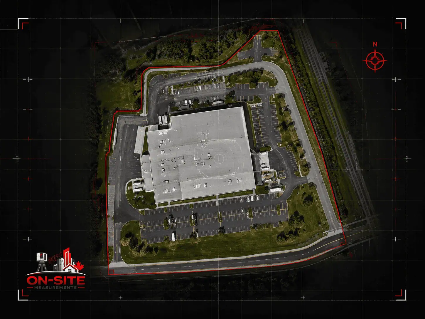
Georeferenced orthomosaic
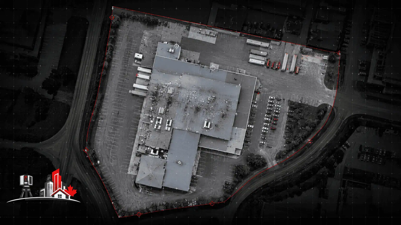
A top-down 2D aerial image of the site or area, corrected for lens distortion and georeferenced to the agreed coordinate reference where that is part of the scope. Delivered as GeoTIFF. The most common primary deliverable from an aerial mapping project. Used for site planning, aerial reference, progress comparison, and visual documentation.
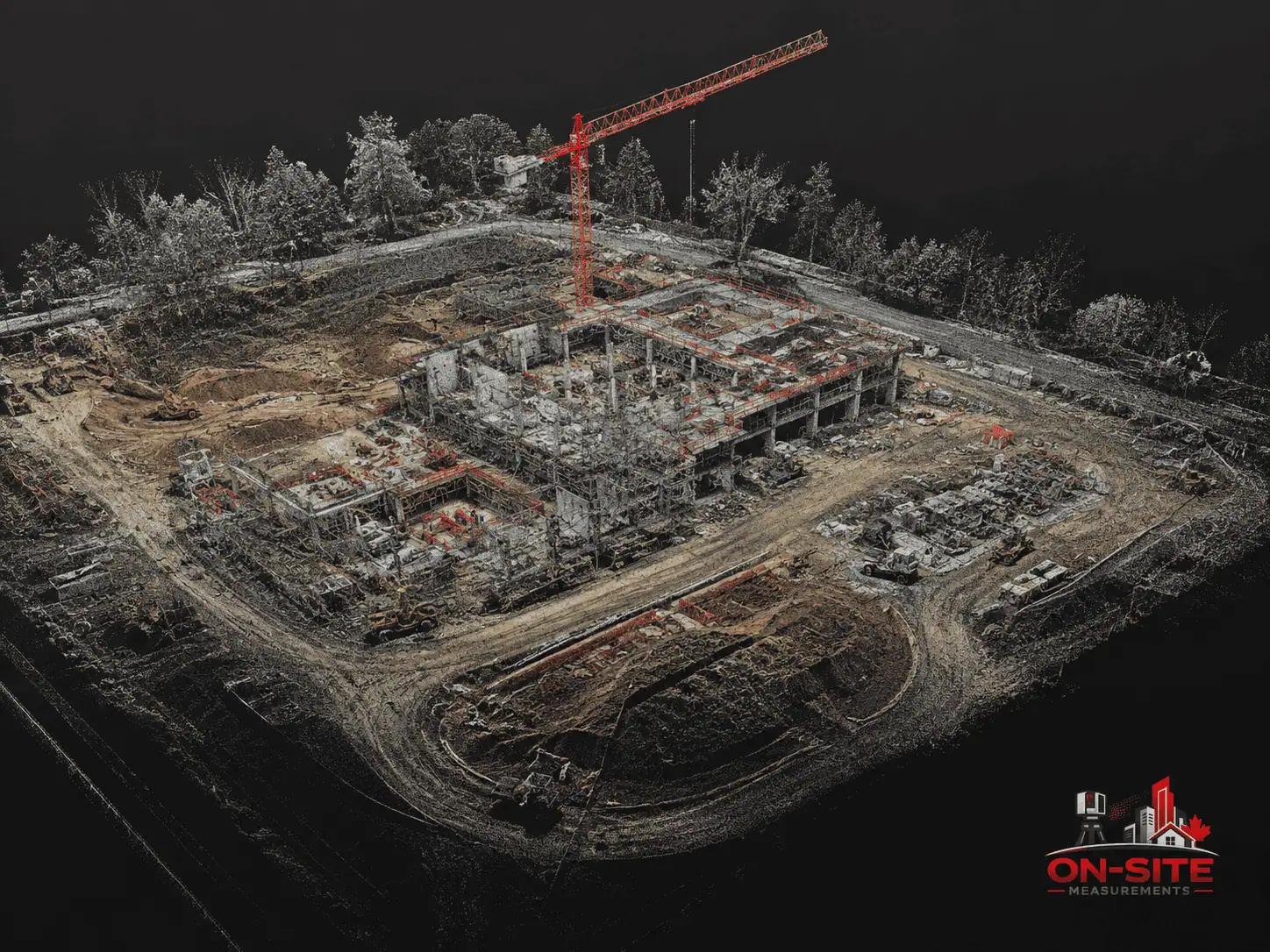
Photogrammetric point cloud
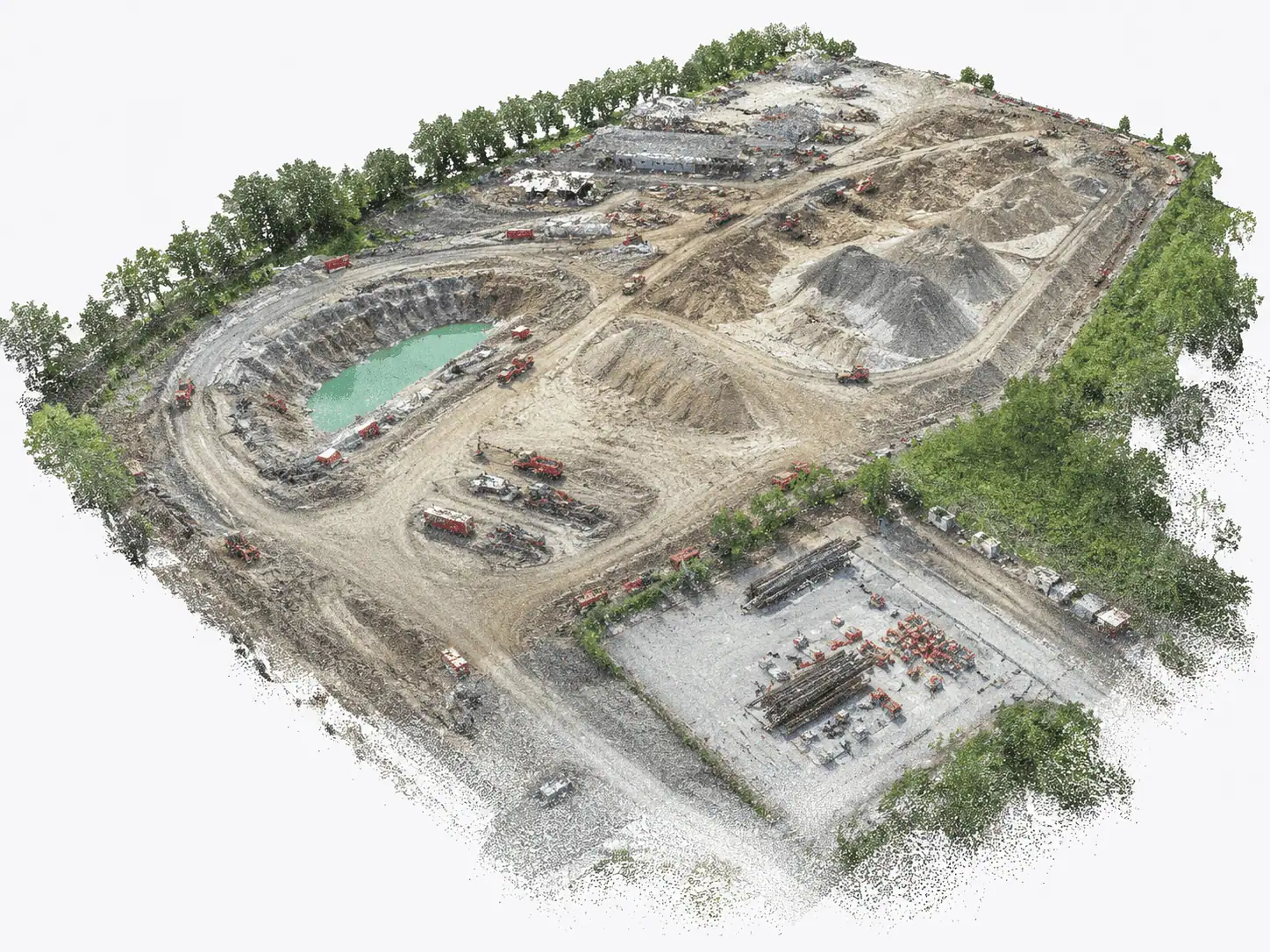
A 3D dataset produced from overlapping aerial imagery using photogrammetric processing. Delivered in LAS/LAZ or E57. A drone-derived photogrammetric point cloud is produced differently from a terrestrial laser scan point cloud: it is camera-based, typically less dense, and suited for site-level 3D reference rather than detailed interior geometry. For projects requiring a dense interior point cloud, see our 3D laser scanning services.
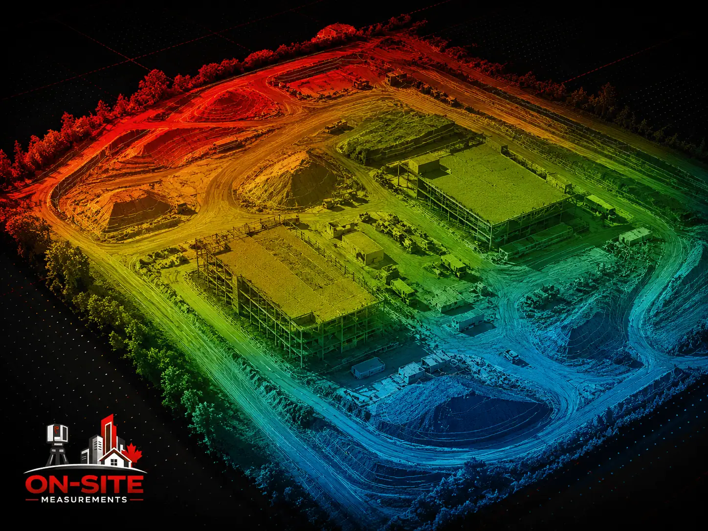
Digital surface model
A gridded elevation model representing the captured surface, including structures, vegetation, and above-ground features. Delivered as GeoTIFF or raster format. A digital surface model represents what the drone captured from above. It is not a legal survey deliverable or an engineering-certified terrain model.
Elevation-derived outputs
Contour lines and digital terrain models may be available when in scope. These are planning and reference outputs. They are not legal survey products, registered land survey deliverables, or engineering-certified terrain models.
Annotated aerial imagery
Georeferenced imagery with notation for roof condition documentation, site reference, or inspection record purposes. Format and detail level are confirmed during scoping.
Aerial video and still imagery
When agreed as a deliverable during scoping. Raw imagery may be provided when agreed, but standard deliverables are processed or organized outputs prepared for the agreed project scope.
2D CAD drawings from aerial data
2D CAD drawings derived from aerial data are not a standard drone deliverable. If CAD plans are needed from aerial data, that is a separate drafting scope. See our CAD drafting services.
Other formats can be discussed during scoping if the downstream workflow requires something not listed here.
Aerial Mapping, Drone Photogrammetry, Roof Inspections, and Site Progress Capture
These terms describe specific workflows and use cases within Drone Services. They refer to different aspects of the same service, not separate offerings.
Aerial mapping
Aerial mapping is the use of drone capture to produce georeferenced imagery and spatial data of a site or area. Common outputs include orthomosaics, digital surface models, and photogrammetric point clouds. It is used for site planning, construction documentation, facility reference, and exterior asset records.
Aerial mapping by drone is a documentation service. It is not a cadastral survey, boundary survey, legal land survey, or licensed topographic survey. If the project requires registered land survey deliverables or boundary information, that is a separate professional scope.
Drone photogrammetry
Drone photogrammetry is the processing workflow where overlapping drone imagery is used to reconstruct 3D data, producing outputs such as orthomosaics, point clouds, and digital surface models. It is the measurement method behind aerial mapping and site documentation from drone capture.
Accuracy depends on flight planning, image overlap, ground control or other control methods when included, site conditions, processing workflow, and required deliverables. Drone photogrammetry is the measurement workflow behind aerial mapping and site documentation from drone capture.
Roof inspections by drone
Drone roof capture documents visible surface conditions from above: geometry, drainage features, penetrations, visible surface conditions, and roof-level elements accessible to the drone during the flight.
Drone roof documentation is a visual documentation service. It does not certify roof condition. It is not a structural engineering inspection, a roofing warranty inspection, or an insurance inspection certification. It does not document concealed roofing layers, below-membrane conditions, hidden flashing conditions, or structural conditions not visible from the air. If specific concealed conditions are critical to the project, alternate methods should be discussed before the scope is confirmed.
On this page, roof inspections by drone refers to aerial visual documentation of roof surfaces using drone capture.
Site progress capture
Site progress capture is periodic drone flights over a construction site to produce dated aerial records of progress across a project timeline. Flights are planned to repeat a consistent coverage pattern so that imagery and data from different dates can be compared. Common deliverables include dated orthomosaics, georeferenced imagery, and aerial video when agreed.
Site progress capture is used by construction managers, project owners, and developers to maintain an aerial record from pre-construction through completion. It is a use case within Drone Services, not a separate offering.
Industries and Common Project Types
Construction and development
Construction teams use drone services for site progress capture across project phases, pre-construction aerial documentation, earthwork and grading reference, and as-constructed aerial records. Periodic flights produce a comparable aerial archive across the project timeline.
Commercial property and building management
Property managers and building owners use drone services for roof condition documentation when physical access is unsafe, impractical, or requires expensive access equipment. Drone capture provides a visual reference of roof surface conditions without requiring workers on the roof. This is a documentation service, not a structural inspection, roofing warranty inspection, or insurance certification.
Architecture and site planning
Architects, planners, and developers use aerial mapping for site context, exterior building geometry, and spatial reference for large sites. Aerial imagery provides an aerial reference for design and planning teams where that perspective is useful.
Industrial and large facilities
Large plant sites, laydown yards, stockpile areas, and industrial facility exteriors that are difficult to document at ground level can be captured aerially. Industrial drone projects typically require careful scope definition around access, airspace, and site safety conditions.
Commercial real estate
Aerial imagery supports asset documentation, site context, and building exterior records for property management and real estate purposes.
Infrastructure and large outdoor sites
Large outdoor areas and infrastructure projects where aerial coverage provides a reference that ground-based methods cannot practically match. Aerial mapping for these projects is a documentation and reference tool, not a legal survey product.
Flight Conditions, Airspace, Access, and Limitations
Transport Canada drone regulations
Commercial drone operations in Canada are governed by Transport Canada under the Canadian Aviation Regulations, Part IX, which covers Remotely Piloted Aircraft Systems (RPAS). Drone operations are planned under applicable Transport Canada RPAS requirements. The required pilot certificate, aircraft requirements, airspace authorization, and scheduling constraints depend on the drone, site location, proximity to people, aerodrome proximity, airspace classification, and the type of operation.
For current regulatory information on drone operation categories and certification requirements, refer to Transport Canada's RPAS resources directly at tc.canada.ca/en/aviation/drone-safety.
Airspace and aerodrome proximity
Operations in controlled airspace or near aerodromes may require authorization through NAV CANADA, and some military or DND-controlled airspace situations may require Department of National Defence involvement before flights can proceed. This authorization affects project scheduling and must be identified during scope planning, not on the day of the flight. Sites near aerodromes or in areas with known airspace constraints should be flagged at the start of the project so that authorization requirements can be addressed before mobilization.
Weather and flight conditions
Drone flights require suitable wind, precipitation, visibility, and weather conditions. Rain, high wind, fog, and low-light conditions can prevent safe flight. Scheduled flights may need to be rescheduled if conditions are unsuitable on the planned date. Timeline estimates for drone projects should account for weather variability. Rescheduling for weather is a normal operational constraint, not a service limitation.
Site access and safety
A safe takeoff and landing area is required on or near the site. Active construction sites, occupied facilities, and areas with overhead hazards such as power lines, cranes, or nearby aircraft operations affect flight planning. Site safety requirements, access restrictions, and coordination with on-site personnel are confirmed before mobilization.
What aerial capture does not show by default
Drone capture documents what is visible from the air within the agreed flight area. The following are not within scope by default:
- Interior conditions of any enclosed space
- Below-grade or buried conditions
- Concealed roofing layers, below-membrane conditions, or elements hidden behind parapets or roof features
- Structural conditions not visible from above
- Any area physically obstructed from the planned flight path
On-Site Measurements does not provide
Engineering sign-off, structural assessment, roof condition certification, roofing warranty inspection, insurance inspection certification, permit consulting, legal land survey services, boundary survey documentation, or cadastral records. Drone services produce aerial documentation. How that documentation is used in any downstream design, engineering, regulatory, or insurance process is the responsibility of the team using it.
What to Share Before Requesting a Quote
To give you a clear scope and realistic timeline, it helps to have the following before we talk:
- Site location: City and province
- Area to cover: Roof surface, construction site, facility exterior, or a defined zone
- Project type: Roof documentation, construction progress, aerial site mapping, exterior reference, or other
- Required deliverables: Orthomosaic, photogrammetric point cloud, digital surface model, annotated imagery, aerial video, or a combination
- Frequency: One-time capture, or periodic flights across a project timeline
- Access conditions: Fenced site, occupied facility, active construction, restricted access, or known overhead hazards
- Airspace context: Proximity to an airport, heliport, or other aerodrome, and any known airspace constraints near the site
- Ground control: Whether georeferenced outputs or tighter spatial control are required for the project
- Project deadline: When deliverables are needed and whether there are phased milestones
- Existing documentation: Site plans, drawings, or previous aerial data useful for scope planning and flight planning
You do not need to have every answer before reaching out. If anything is unclear, we can work through it together during the scoping conversation.
Frequently Asked
Common Drone Services Questions
What is drone photogrammetry?
Drone photogrammetry is the workflow where overlapping drone imagery is processed to reconstruct spatial data: orthomosaics, photogrammetric point clouds, and digital surface models. The drone captures the imagery; photogrammetric processing produces the 3D data from the image overlap. Deliverables are produced from the captured data and reviewed before handoff. They are not automatically generated in final form by the drone during the flight. Drone photogrammetry is a supporting phrase for Drone Services, not a separate offering.
What is aerial mapping?
Aerial mapping is the use of drone capture and photogrammetric processing to produce georeferenced imagery and spatial data of a site or area. Common outputs include orthomosaics, digital surface models, and photogrammetric point clouds. Aerial mapping is a documentation and planning reference service. It is not a cadastral survey, boundary survey, legal land survey, or licensed topographic survey. Aerial mapping is a use case within Drone Services, not a separate offering.
What can a drone roof inspection show?
Drone roof capture documents visible surface conditions from above: roof geometry, drainage features, penetrations, visible surface conditions, and roof-level elements accessible during the flight. It does not document concealed roofing layers, below-membrane conditions, or structural conditions not visible from the air. Drone roof documentation is not a structural engineering inspection, not a roofing warranty inspection, and not an insurance inspection certification. If specific concealed conditions are critical to your project, alternate methods should be discussed before the scope is confirmed.
What is site progress capture?
Site progress capture is periodic drone flights over a construction site to produce dated aerial records of progress across a project timeline. Flights are planned to repeat a consistent coverage pattern so that imagery and data from different dates can be compared. Common deliverables include dated orthomosaics, georeferenced imagery, and aerial video when agreed. Site progress capture is a use case within Drone Services, not a separate offering.
What deliverables can I expect from drone services?
Deliverables depend on the agreed scope. Options that may be available when scoped include georeferenced orthomosaics (GeoTIFF), photogrammetric point clouds (LAS/LAZ, E57), digital surface models (GeoTIFF), annotated aerial imagery, and aerial video. Elevation-derived outputs such as contours may be available when in scope. Not every project requires every deliverable type. Format and scope are confirmed before work begins.
What affects the accuracy of drone photogrammetry data?
Accuracy depends on flight planning, image overlap, ground control or other control methods when included, site conditions, processing workflow, and required deliverables. Ground control points can improve spatial accuracy when the project requires georeferenced outputs or tighter spatial control. Accuracy requirements should be discussed during scope confirmation so the flight plan and processing approach can be planned around them where feasible.
What are the drone flight regulations in Canada?
Commercial drone operations in Canada are governed by Transport Canada under the Canadian Aviation Regulations, Part IX. Drone operations are planned under applicable RPAS requirements. The required pilot certificate, aircraft requirements, airspace authorization, and scheduling constraints depend on the drone, site location, proximity to people, aerodrome proximity, airspace classification, and the type of operation. Projects near aerodromes or in controlled airspace may require authorization through NAV CANADA, and some military or DND-controlled airspace situations may require Department of National Defence involvement before flights can proceed. For current regulatory information, refer to Transport Canada's drone safety resources at tc.canada.ca/en/aviation/drone-safety.
What affects the cost of drone services?
Several factors influence project cost: Area to cover: Larger sites require more flight time and more processing time Project type: Roof documentation, site mapping, and construction progress capture each have different field and processing requirements Required deliverables: An orthomosaic requires different processing time than a full point cloud and surface model package Ground control: GCP placement and control measurement add field time and cost when in scope Flight frequency: Periodic progress flights are scoped differently from one-time capture Airspace and access: Controlled airspace authorization, occupied facilities, and access restrictions affect scheduling and lead time Site location and mobilization: Location, travel, and access coordination affect the total project cost We do not publish standard pricing because project conditions vary too much to make a price list useful. Contact us with your project details and we will discuss what the scope realistically involves.
Have a project in mind?
Send us the site, scope, and deliverables you need.
We will help confirm the right capture method before work begins.
Industries That Use This Service
- Drone documentation for construction sitesAerial progress capture, site context, and exterior documentation for contractors.
- Aerial capture for facility and property recordsRoof condition, exterior building envelope, and site context for facility teams.
- Industrial site aerial documentationExterior, roof, and large-area documentation for industrial properties.
This Service in Specific Cities
City-specific pages with local project context, use cases, and quote guidance.
- Drone Services in TorontoDrone documentation services for Toronto and GTA construction, rooftop, and site inspection projects.
- Drone Services in VancouverDrone documentation services for Vancouver and Lower Mainland commercial, industrial, and construction site projects.
- Drone Services in CalgaryDrone documentation services for Calgary commercial buildings, large industrial sites, and construction progress projects.